Cycling in the Cairngorms: 9 Best Routes and Rides From Aviemore
Nine Cairngorms rides with real distances and climbs, from forest loops out of Aviemore to a week-long crossing over the Gaick Pass, and the 2026 closures.
Quick links
Don't want to read all this?
We've planned 800+ cycling trips. Send your dates, fitness and group size — we'll map the route and book every night.


The Cairngorms National Park covers 4,528 sq km, the largest national park in the UK. On a bike that means tarmac, forest road and estate track, often in the same day.
This guide covers nine routes: three that take several days, then six day rides from Aviemore, each with its real distance and climb. For Scotland's other long rides, see our guide to cycling routes in Scotland.
Why Cycle in the Cairngorms
The park is home to a quarter of Britain's threatened species, from ospreys to crested tits, and riding quietly is the best way to see them. Beavers are back too: the first families were released under licence in December 2023, and beavers in the park now live along the Spey.
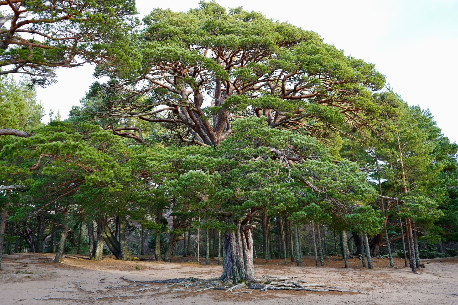
Aviemore sits on two long routes, the Speyside Way and National Cycle Network Route 7, and most day rides start from the station door. Kingussie, Carrbridge and Blair Atholl are on the same railway, so a ride can end in a different town.
The trade-off is the ground between towns: fords with no bridge, passes with no shelter, and paths in Glenmore still closed after the July 2026 wildfire.
What You Need to Know at a Glance
Routes: 9 in total, 3 multi-day and 6 day rides from Aviemore
Our crossing: 260 km over 5 riding days, Inverness to Dundee, about 2,720 m of climbing
Highest point: about 500 m on the Gaick Pass; the Cairnwell road reaches 670 m
Best months: May to September, the season our tour runs
Bikes: gravel bike or e-bike for estate track; a road bike for the day loops
Fire rule: no fires or barbecues in the park from 1 April to 30 September
Closed: the Ryvoan Pass beyond Ryvoan bothy, since the July 2026 wildfire
Multi-Day Cycle Routes Across the Cairngorms
Three routes take more than a day. Ours crosses the park from north to south, the Speyside Way follows the river to the sea, and NCN 7 runs beside the A9. They share several stretches, so each entry says where they overlap.
1. Inverness to Dundee Across the Cairngorms
Distance: 260 km over 5 riding days, 33 to 60 km a day
Duration: 7 days, 6 nights, self-guided
Route: Inverness, Grantown-on-Spey, Aviemore, Kingussie, Blair Atholl, Blairgowrie, Dundee
Surface: quiet roads, cycle path and gravel estate track
Difficulty: level 3/5, about 2,720 m of climbing in total
Best for: riders who want the whole park in one line, on a gravel bike or e-bike
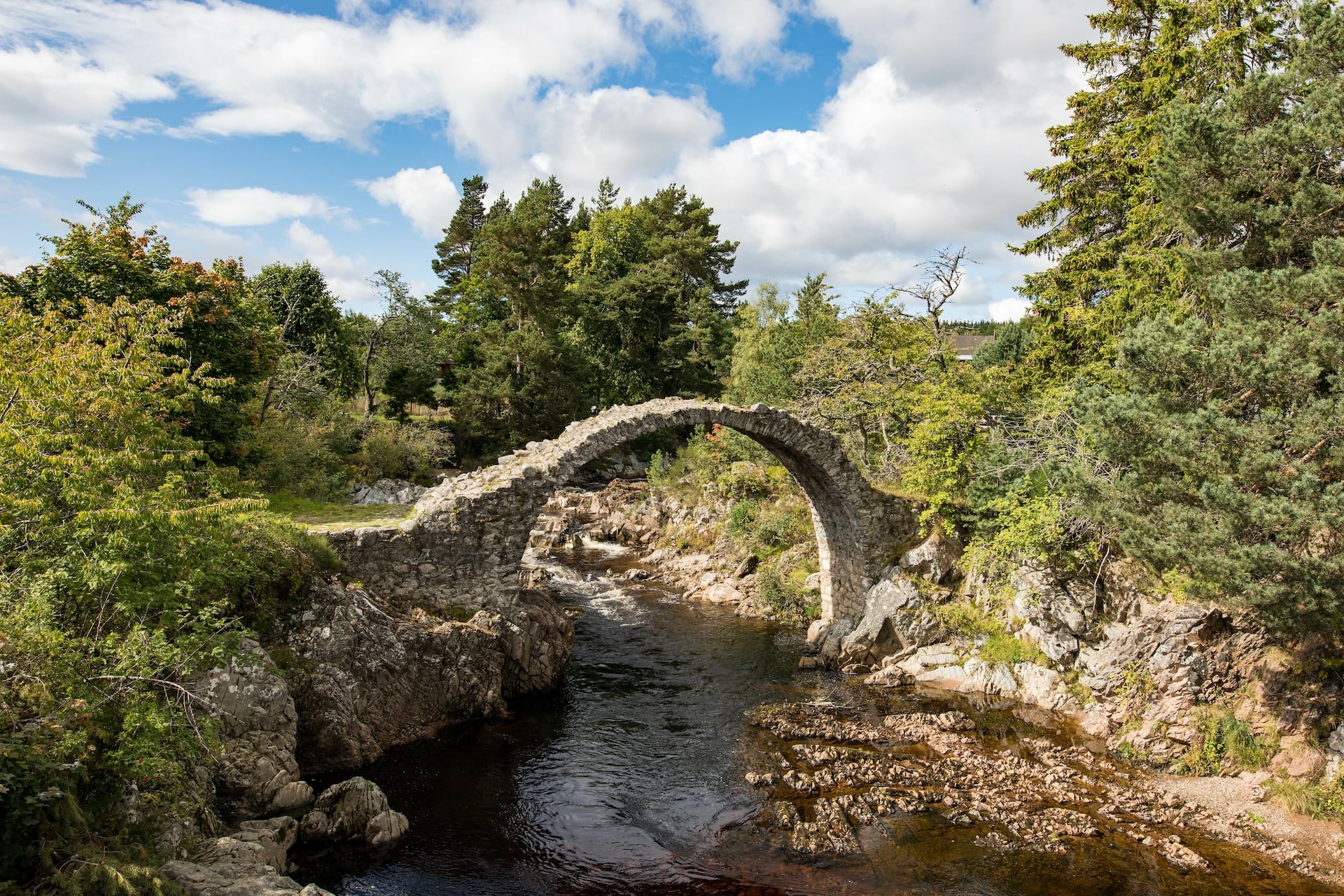
This is our Cairngorm Cycling Holiday, and it is the only route here that crosses the park from one city to another. Day 2 leaves Inverness for Grantown-on-Spey, 58 km with 710 m of climbing over the Slochd summit at 405 m, then down through Carrbridge.
Day 3 runs 60 km and 580 m from Grantown to Aviemore through the Strathspey pine forest by Nethy Bridge and Loch Morlich. Part of the Glenmore ground has been closed since the July 2026 wildfire, so we confirm the day's route before you travel.
Map
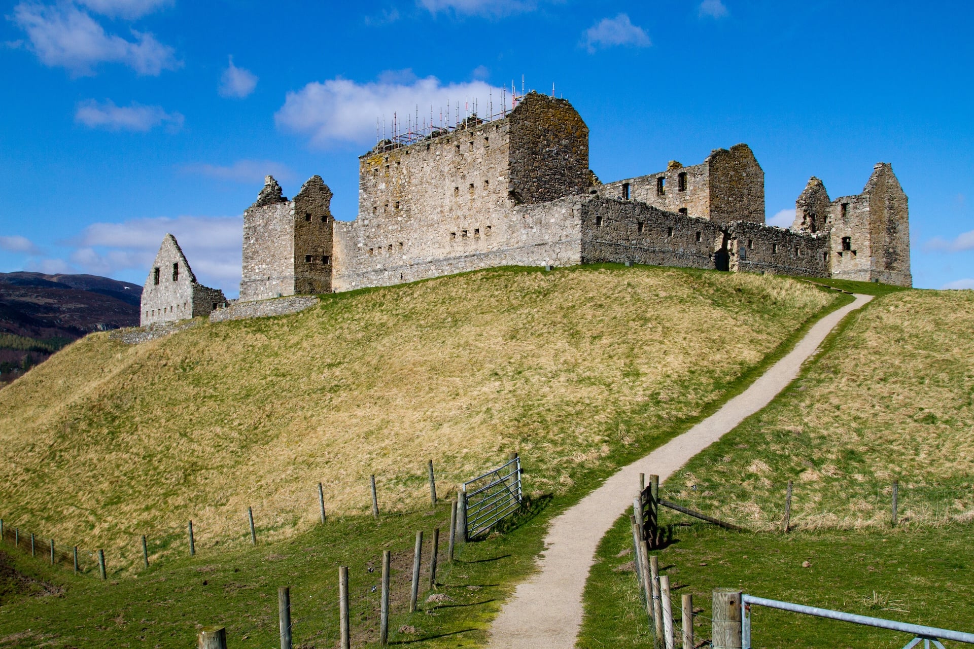
Day 4 is the hard one. A short public-transport hop takes you to Kingussie, then the route passes Ruthven Barracks and climbs Glen Tromie on estate track. It crosses the Gaick Pass at about 500 m and drops to Blair Atholl: 56 km, 560 m up and 650 m down.
The Gaick is a right of way, not a smooth one. Expect to push beside Loch an Dùin, where the track narrows to singletrack under slopes that drop 300 m into the loch. Two fords near Loch Bhrodainn can be hard to cross after rain.
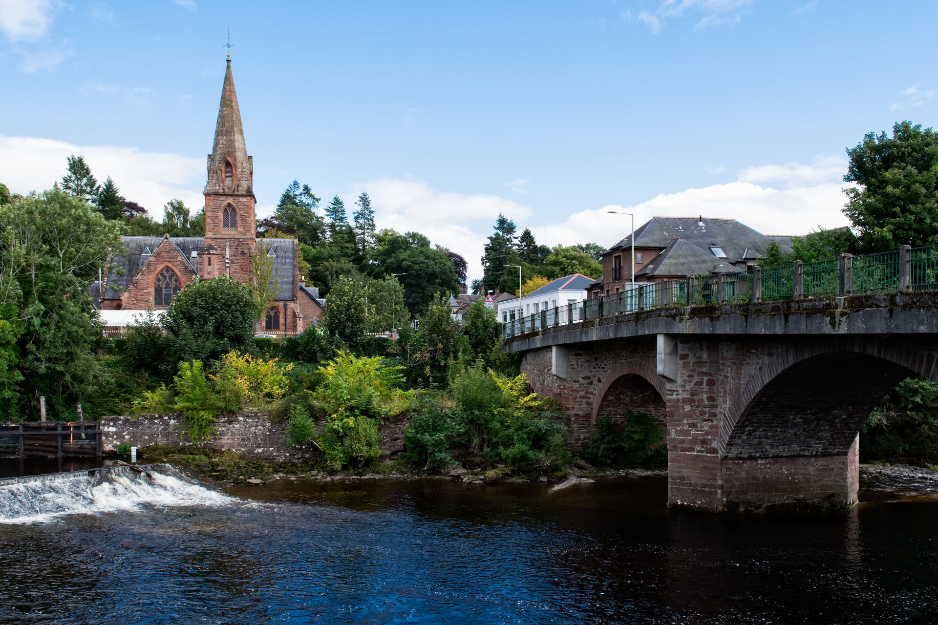
The last two riding days leave the park. Day 5 is 53 km and 530 m through the Pass of Killiecrankie, where a Jacobite army won a battle on 27 July 1689, and Pitlochry, whose dam fish ladder has carried over 250,000 salmon since 1952.
Day 5 ends at Blairgowrie after Loch of the Lowes, the Scottish Wildlife Trust's osprey reserve near Dunkeld. Day 6 is the easiest, 33 km and 340 m over the Sidlaws to the Tay at Dundee.
Day 1 is arrival in Inverness and day 7 departure from Dundee, which has trains south. The tour runs from May to September, and the price covers six nights with breakfast, luggage transfers, a guidebook and a GPS app. The Speyside Way and NCN 7 below cross the same ground on days 2, 4 and 5.
2. The Speyside Way by Bike
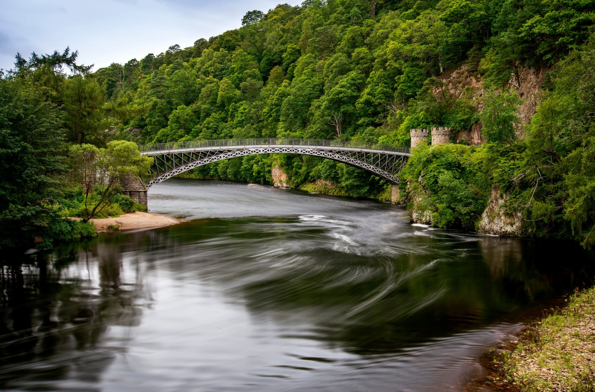
Distance: 137 km from Buckie to Newtonmore, with 1,485 m of ascent
Route: Newtonmore to Buckie via Aviemore, Grantown and Craigellachie
Surface: riverside path, old railway line, forest road and minor road
Difficulty: easy in the Cairngorms; rough with gates further downstream
Best for: a gentle ride of a few days from the hills to the coast
Our tour: meets it between Ruthven Barracks and Tromie Bridge on day 4
The Speyside Way is one of Scotland's Great Trails, following the river from the Cairngorms to the Moray coast. In the park the two long sections suit bikes: Aviemore to Newtonmore is 31.4 km, and Grantown to Aviemore 26 km.
Downstream it is a walkers' path in places. Cyclists are asked to use the B9102 between Ballindalloch and Cromdale, where chain gates block bikes, and the Tomintoul spur is no place for a bike. One rider counted 13 gates between Nethy Bridge and Grantown.
3. NCN 7 Over Slochd and Drumochter
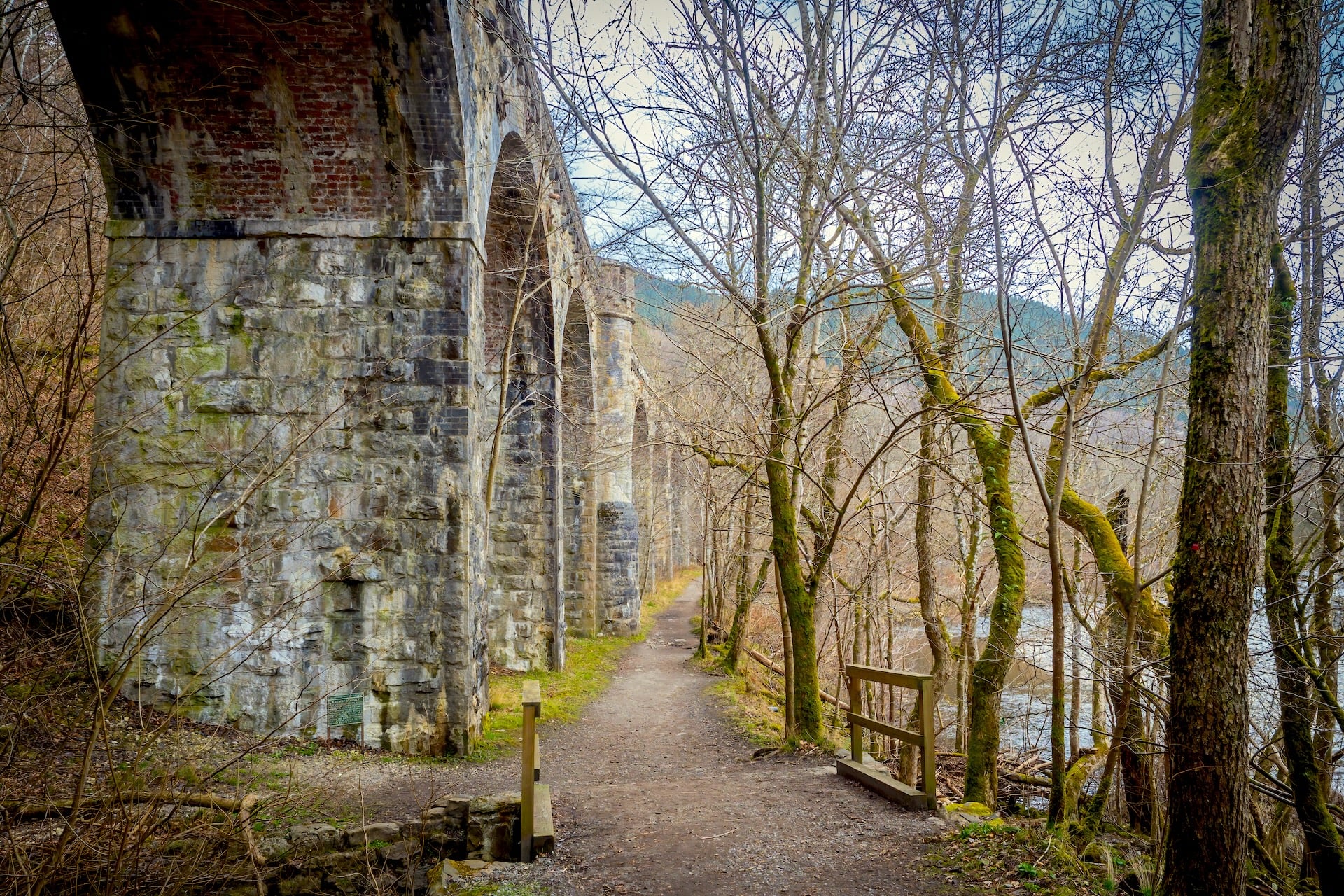
Distance: 344 km Inverness to Glasgow; the Inverness to Pitlochry part crosses the park
Route: Inverness to Pitlochry via Slochd, Aviemore, Drumochter and Blair Atholl
Surface: old A9 road and purpose-built cycle path beside the new A9
Difficulty: long, steady climbs, mostly on tarmac
Best for: road bikes and riders who want a sealed surface through the hills
Our tour: follows its line over Slochd on day 2 and rides it to Pitlochry on day 5
National Cycle Network Route 7, the Lochs and Glens Way, runs 344 km from Inverness to Glasgow and is 34.1% traffic-free. In the park it follows the old A9 and crosses Drumochter at about 460 m, the highest point of the National Cycle Network in Scotland.
Drumochter and the Gaick are the two ways from Badenoch into Perthshire. NCN 7 gives tarmac beside a busy trunk road; the Gaick gives estate track and fords. On a road bike, take NCN 7.
The Best Cycling Routes Around Aviemore
Aviemore is the base for six rides, from a forest path for children to a 106 km road day. The table gives each ride's distance and climb from Tiso's Aviemore store, Rothiemurchus and Forestry and Land Scotland, checked in October 2026.
Route | Distance | Climb | Surface | Best for |
Old Logging Way to An Lochan Uaine | 12 km each way | mostly gentle | firm traffic-free path | families, hire bikes |
Rothiemurchus Three Lochs Trail | 10.8 km loop | gentle | off-road forest path | a first gravel ride |
Kingussie loop | 47 km | 473 m | quiet roads | road bikes |
Cairngorm hill climb | 33 km | 529 m | ski road | climbers |
Loch Garten loop | 38 km | 337 m | minor roads | an easy road day |
Lochindorb loop, from Carrbridge | 50 km | 463 m | minor roads and the A939 | open moorland |
The Lecht | 106 km | 1,134 m | roads with 20% ramps | strong riders |
1. The Old Logging Way and Loch Morlich
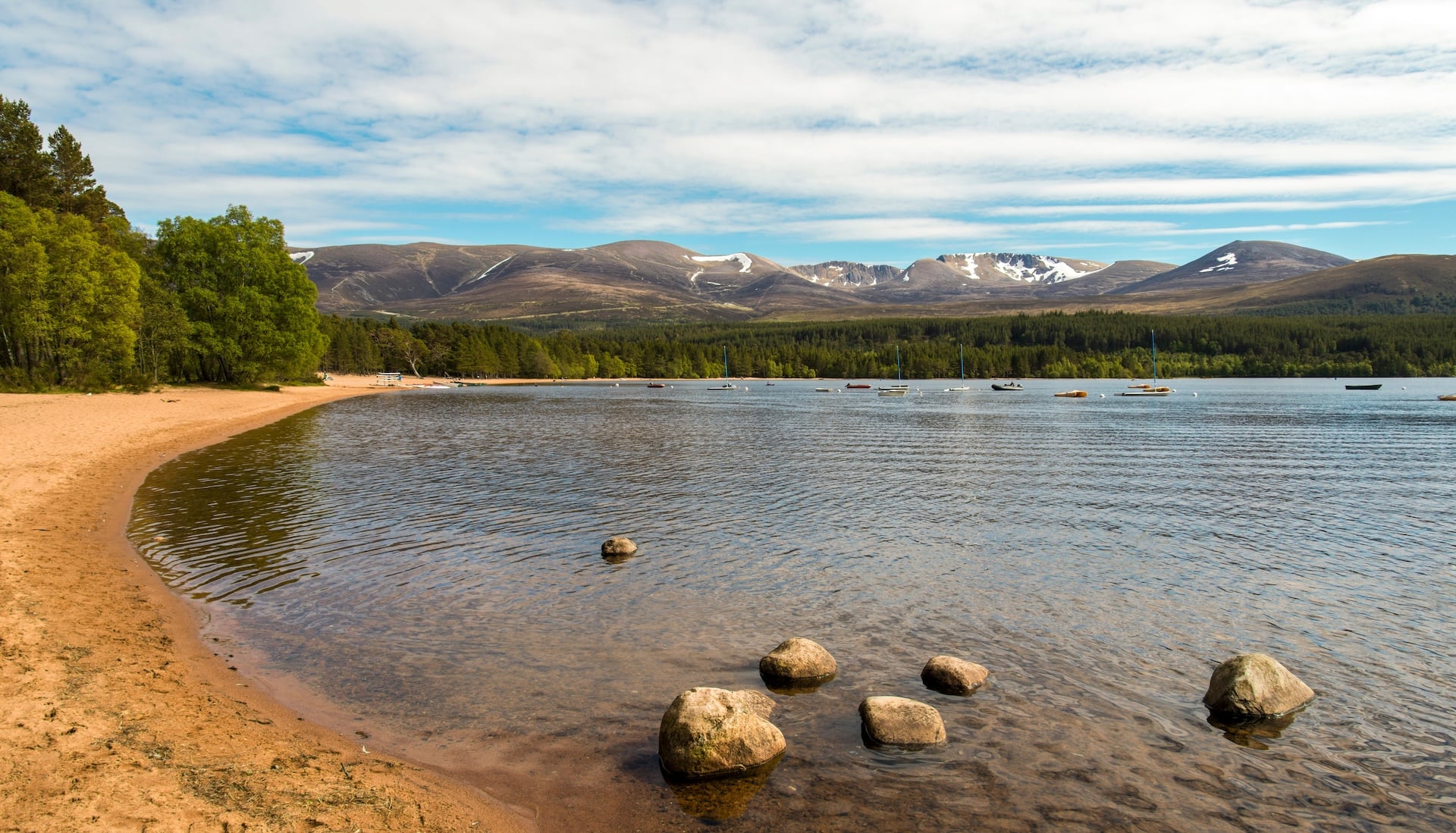
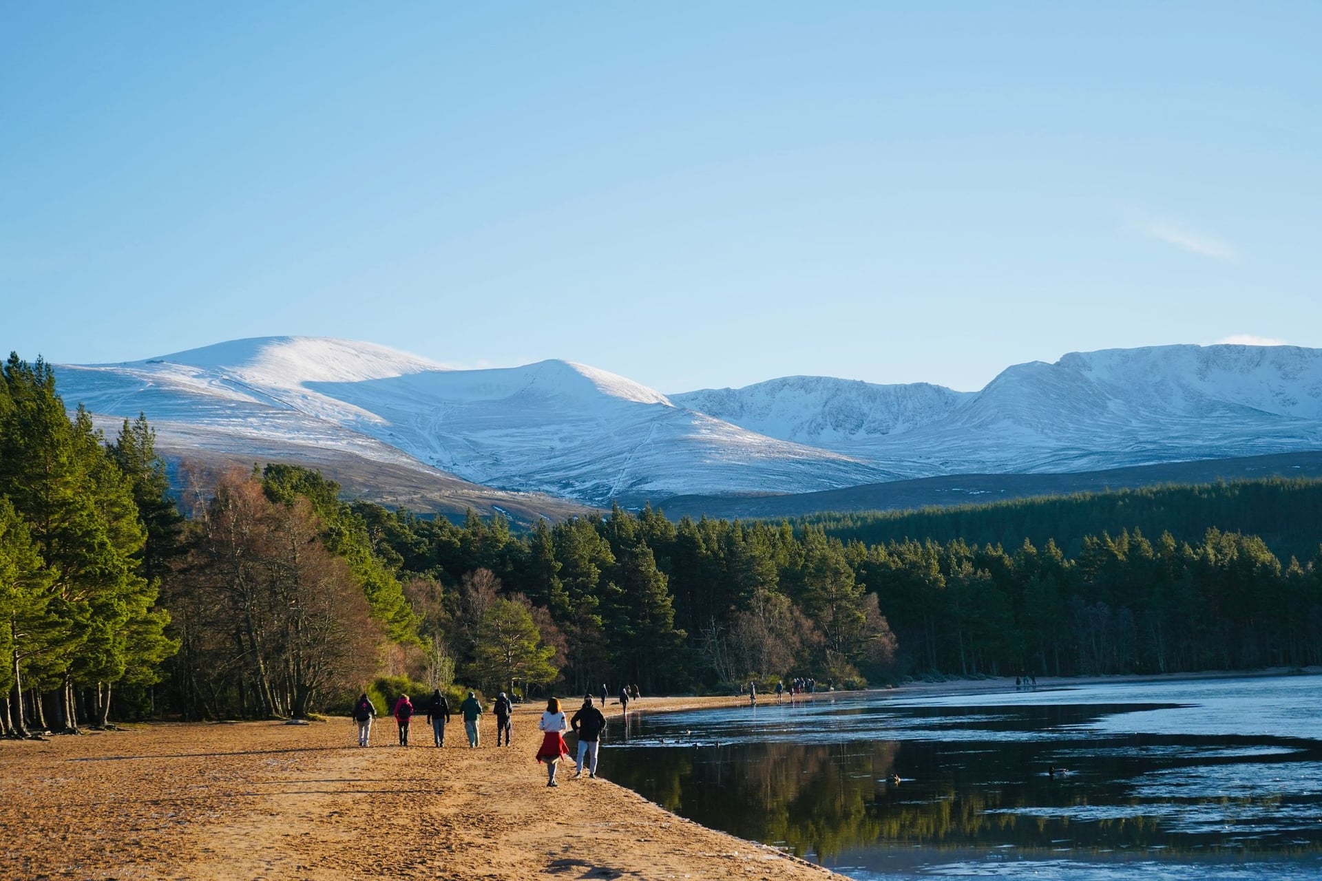
From Aviemore, the Old Logging Way runs through Inverdruie to Glenmore on a firm, traffic-free path with gentle slopes. It is 12 km each way to An Lochan Uaine, the Green Loch, and it is the easiest way into the forest on a hire bike, with Loch Morlich on the way.
For a loop, Visit Cairngorms describes a 30 km ride from the Old Logging Way over the Sluggan Pass and back along the Speyside Way from Boat of Garten. After the wildfire, the trail to the Green Loch and Ryvoan bothy is open again; the right of way beyond the bothy is not.
2. Rothiemurchus and Loch an Eilein
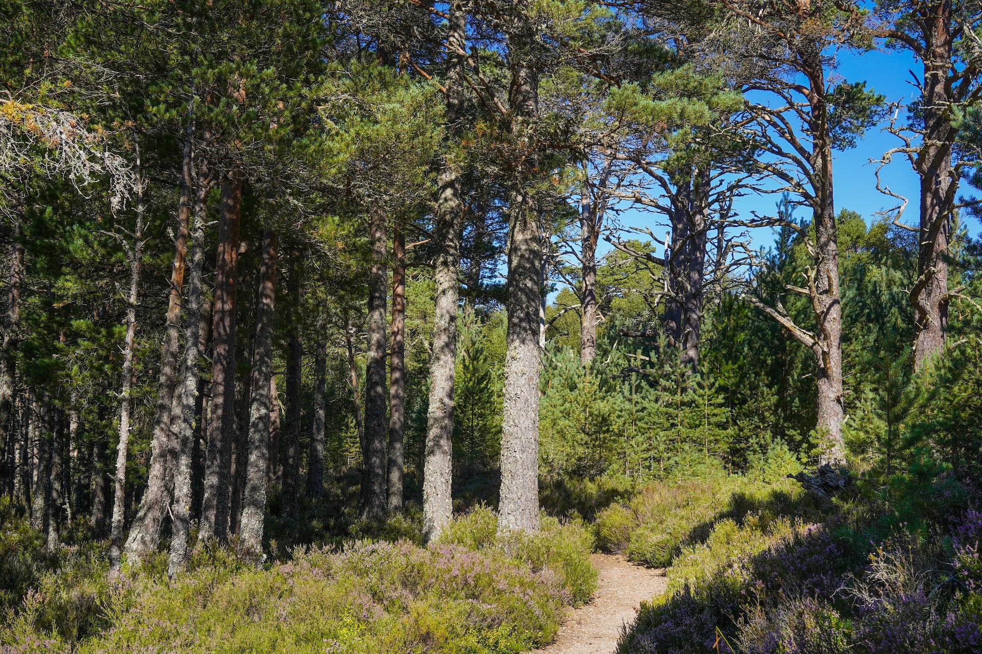
Rothiemurchus estate runs its own trail network just south of Aviemore. The Three Lochs Trail is a 10.8 km loop past Lochan Mor, Loch an Eilein and Lochan Deo, and the Rothiemurchus bike map adds the 19.8 km Ancient Forest Trail.
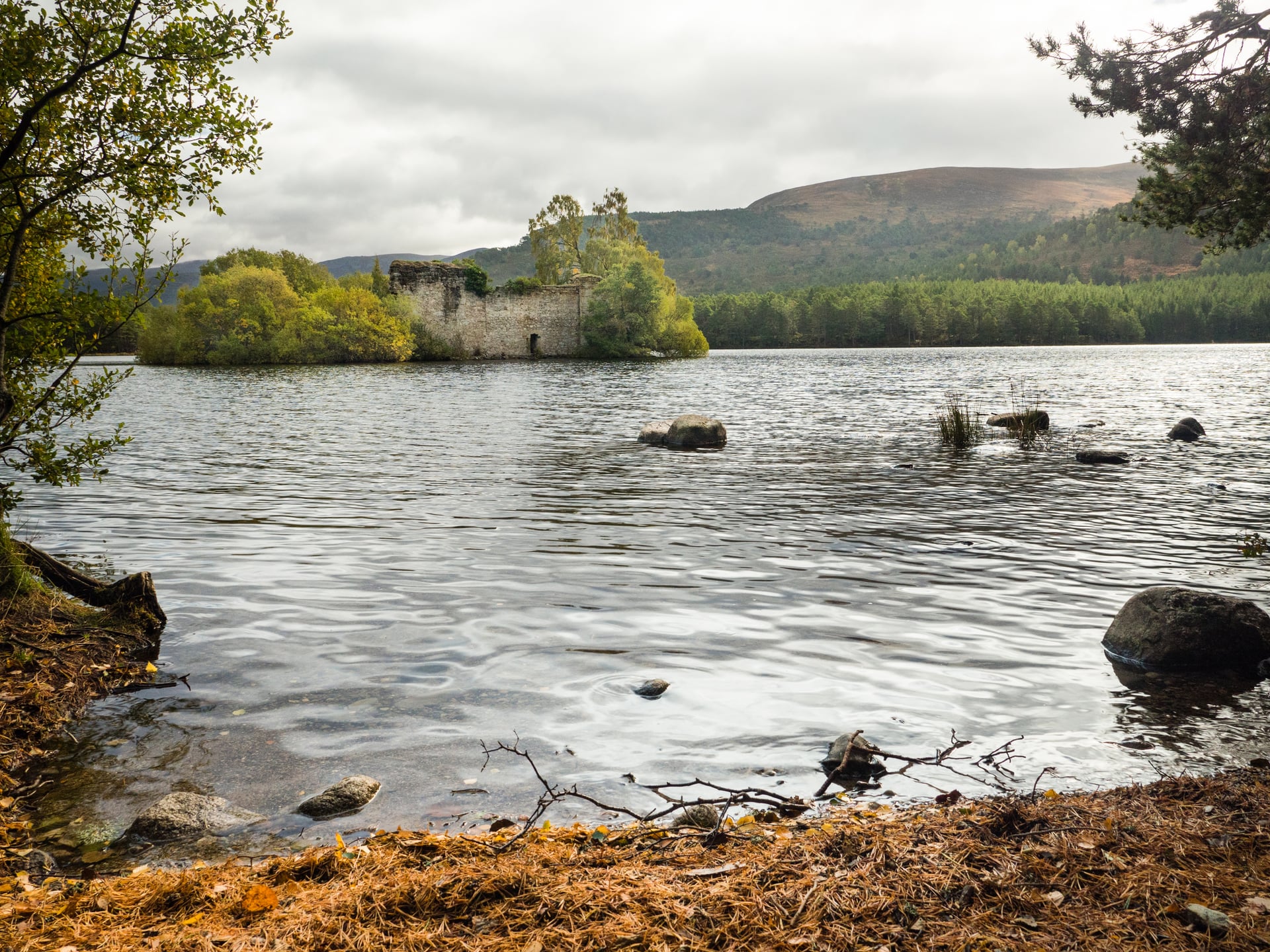
Loch an Eilein is the stop, with a ruined castle on an island in the loch. The estate hires trailers and tag-alongs for children, and these trails are shared and popular, so it asks riders to slow down for walkers, horses and dogs.
3. The Kingussie Loop via Feshiebridge and Ruthven
Local riders' favourite road loop heads south from Aviemore on the B9152 through Kincraig to Kingussie, then returns on the B970 past Ruthven Barracks and Feshiebridge. Tiso gives 47 km and 473 m; Aviemore Bikes measures 50 km and 400 m, with Kincraig as a 25 km short cut.
Ruthven Barracks was built in 1719 to 1721 after the 1715 Jacobite rising, burnt in 1746 and never repaired. Historic Environment Scotland keeps it free to visit all year. After them, two short climbs catch riders who push too hard on the first.
4. The Cairngorm Hill Climb
Aviemore's classic climb is the ride to the Cairngorm ski car parks. It warms up on flat road past Loch Morlich and Glenmore, then goes through the snow gates and up the ski road to the car parks at up to 635 m: 33 km and 529 m there and back.
Tiso's Aviemore store says the steepest part is the straight up to the Sugarbowl car park, with an easier gradient above the tree line. The road stops at the car parks, so the ride tops out well below the summit, and the descent back to Glenmore is fast.
5. Loch Garten and Lochindorb
Two road loops cover the Strathspey moors north of Aviemore. The Loch Garten ride turns off at Coylumbridge for Nethy Bridge and the loch, 38 km and 337 m through Abernethy pine forest. Tiso rates it beginner to intermediate, with a café stop at Boat of Garten.
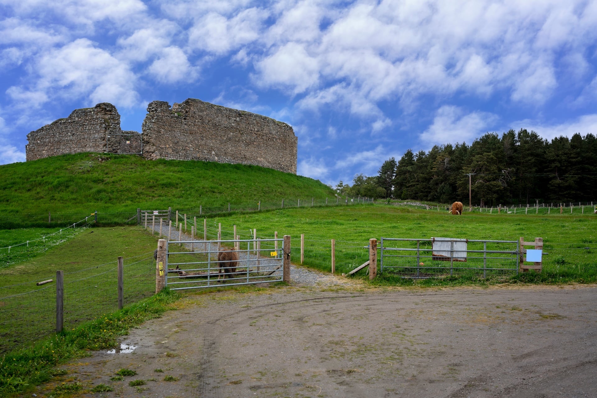
Lochindorb is the wilder one, 50 km and 463 m from Carrbridge, with 11 km on the A939 before a single-track road drops to the loch. Its island castle belonged to the Wolf of Badenoch from 1372 until his death in 1405. On the B9007 back, the wind is often in your face.
6. The Lecht and the Snow Roads
For strong riders, the Lecht loop is 106 km and 1,134 m. It climbs Heartbreak Hill out of Nethy Bridge, then ramps of 20% out of the Bridge of Brown valley. After Tomintoul the Lecht road rises to the ski centre café, with another 20% section near the top.
The Lecht is part of the SnowRoads Scenic Route, 90 miles from Blairgowrie to Grantown-on-Spey, whose high point is the Cairnwell Pass at 670 m, the highest public road in the UK.
When to Cycle in the Cairngorms
The riding season is May to September, when our tour runs; outside it, short days and snow limit the high roads.
Spring (April – June)
The fire byelaw starts on 1 April. Our tour season opens in May, and our tour notes say May and June see little rainfall. At 57° north the official Speyside Way site gives 18 to 19 hours of daylight in late June, enough for a long day with time to spare.
Summer (July – August)
Peak summer brings the most people to Loch Morlich and Loch an Eilein, so book beds early. Midges are out from June to August, but riders rarely notice them while moving; a head net matters at stops. The fire ban runs to 30 September.
Autumn (September – October)
September is quieter and can be wetter, and it is the last month our tour departs. Rain matters most on the Gaick, where the fords rise. From October, set out at first light and check the sunset time before you go.
Winter (November – March)
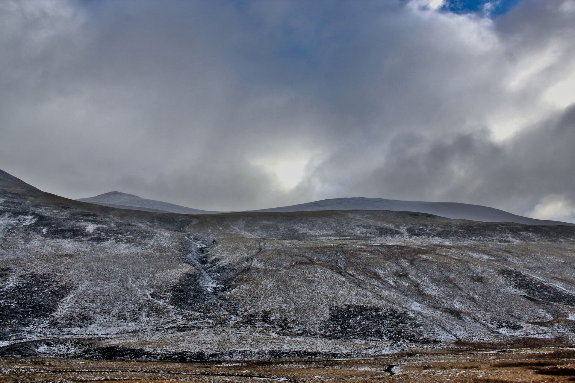
Late December has 6 to 7 hours of daylight. The ski road has snow gates, and estate tracks can hold snow and ice. Our tour does not run in these months, and the low forest paths are the safest riding.
Trail Closures and Access Rules
A wildfire burned through Glenmore, Strath Nethy and Abernethy in July 2026. On 5 October 2026 the park authority's path closures page listed the Ryvoan Pass as open from Glenmore to Ryvoan bothy and closed from the bothy to Abernethy woods. The Allt Mor path and the Lodge Trail were also closed.
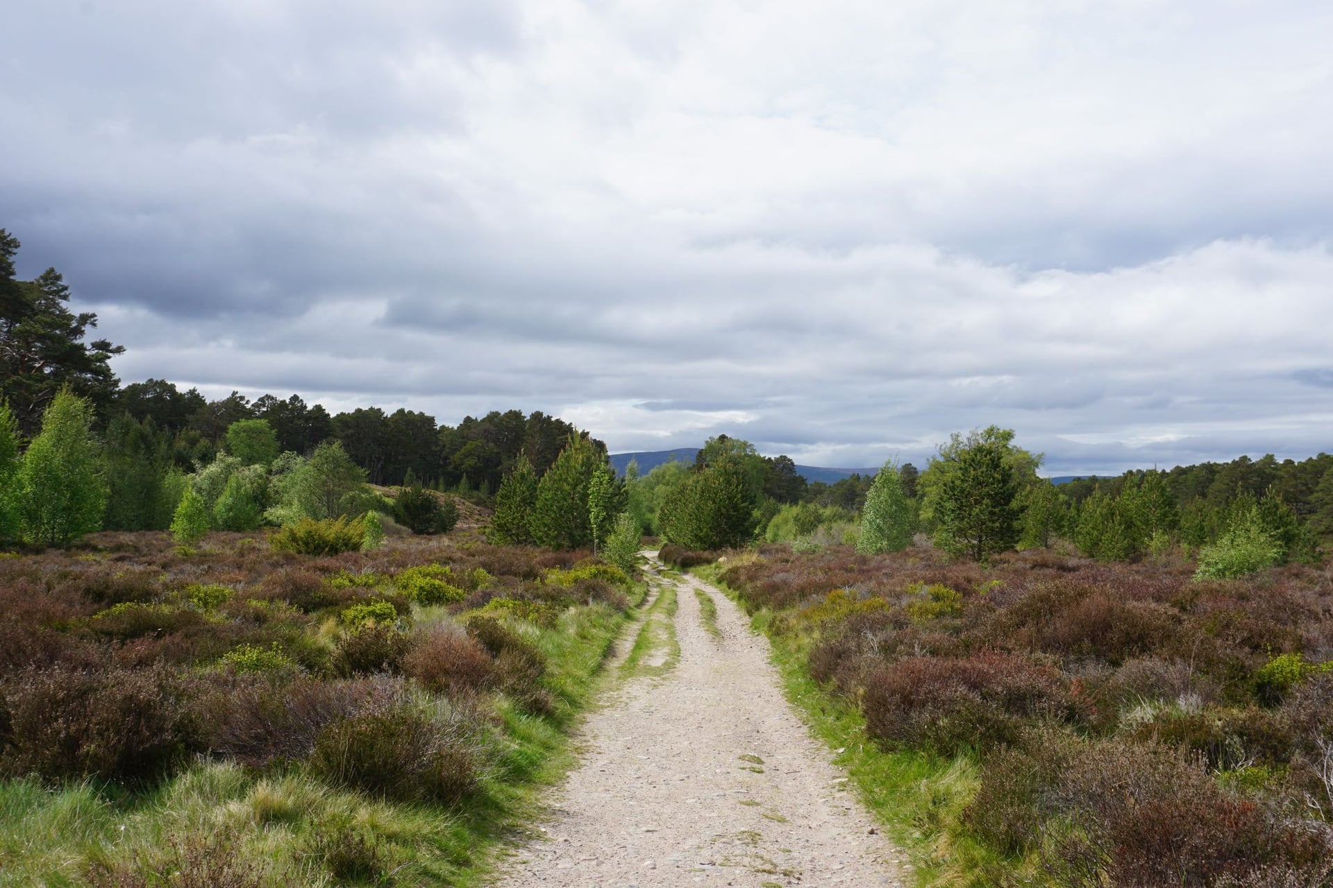
The park suggests two ways from Glenmore to Nethy Bridge instead: Badaguish, An Slugan, the B970 and the track to Tulloch; or the Old Logging Way to Aviemore and the Speyside Way through Boat of Garten. The Glenmore alerts ask riders to keep to open forest roads near burned trees.
From 1 April to 30 September, fires and barbecues are banned in the National Park. The Scottish Outdoor Access Code gives a right to cycle most tracks responsibly: warn walkers and horse riders, and dismount on narrow paths when needed.
How to Get There
Most riders arrive in Inverness, also the start of the Great Glen Way, by train from the Central Belt or London, or by air. Dundee, where our tour ends, has trains south to Edinburgh. Carrbridge, Aviemore, Kingussie and Blair Atholl are all on the Highland Main Line.
The Caledonian Sleeper carries bikes free with a reservation, six on racks and two in bags per train, but takes no bike bookings at Blair Atholl or Dalwhinnie. ScotRail asks for a reserved bike space on some services, so book it with the ticket.
Ember's electric coaches carry bikes, including e-bikes, if you reserve a space when booking. On our tour, the morning transfer from Aviemore to Kingussie on day 4 is by public transport and not included in the price.
How Much It Costs
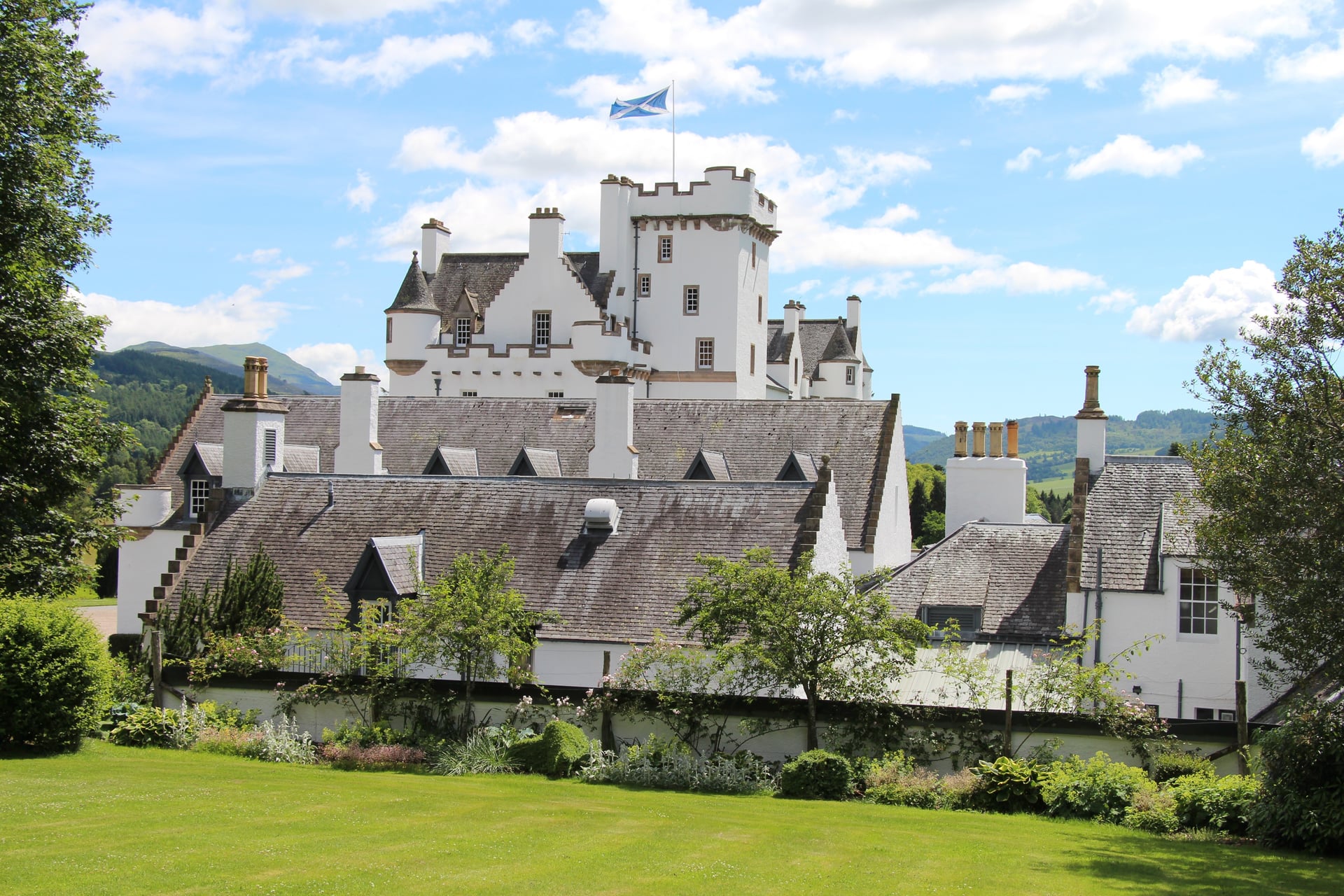
Riding in the Cairngorms costs nothing in fees: there are no park entry charges or permits for cycling, and Ruthven Barracks is free. Paid stops are optional, such as Blair Castle at the end of day 4.
Our price covers six nights in three-star hotels with breakfast, luggage transfers, the guidebook, the GPS app and support. It does not cover the Kingussie transfer or tourist tax, and gravel bike or e-bike hire is extra. Highland Council is consulting on a visitor levy, which is not yet charged.
What to Pack
A gravel bike or an e-bike handles the estate track on days 3 and 4; road tyres do not. Wear shoes you can walk in, because the Gaick needs pushing and fording, and carry waterproofs and a warm layer for a pass with no shelter.
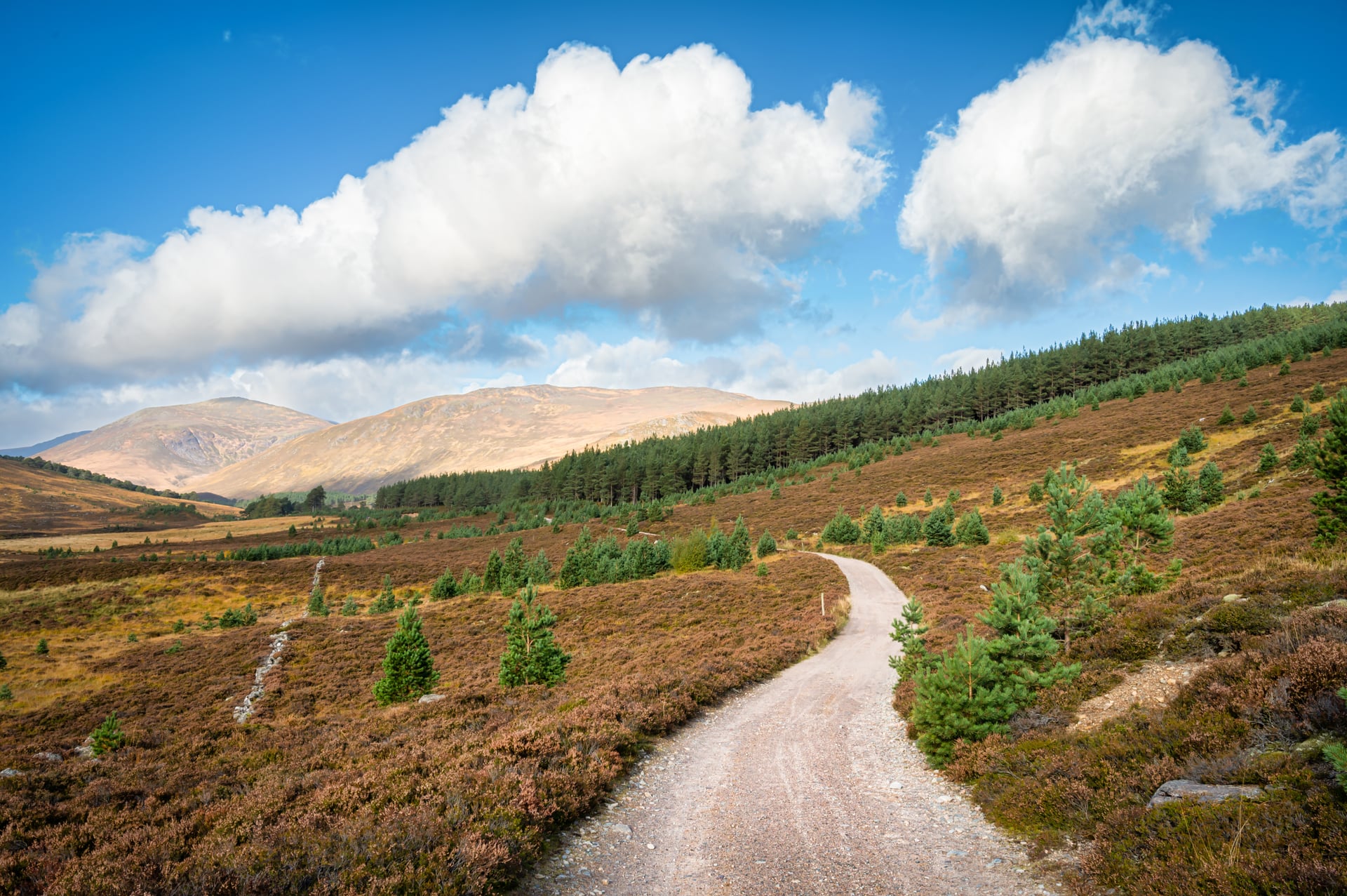
Pack a midge head net for stops and a tick remover, as Forestry and Land Scotland warns ticks can carry Lyme disease. The Highway Code's rule 60 requires white front and red rear lights at night, plus a red rear reflector.
Ready to Ride the Cairngorms?
The Cairngorms suit two kinds of trip: a week in Aviemore with a different loop each day, or a crossing from Inverness to the Tay. The Gaick day is the one to plan for. Our self-guided Cairngorm Cycling Holiday rides the crossing with hotels and luggage arranged. To plan dates, get in touch.
The North Coast 500 is the harder week in the far north. For the west coast, see the Caledonia Way.
Frequently Asked Questions

Plan with a cycling expert
Free advice from a team that knows these routes inside out - real people, not a bot

Hassle-Free
We take care of route planning, accommodations, luggage transfers, and all logistics, so you can focus purely on enjoying your ride.

Tried & Tested Adventures
Our cycling routes are hand-picked & tested, to ensure breathtaking landscapes, smooth roads, and maximum safety - giving you the perfect ride every day.

Unbeatable Support
Our 24/7 customer support is where we show our passion, ensuring your cycling holiday runs smoothly and your well-being is always our top priority.

Book with Confidence
We are a financially protected company, fully bonded and insured, keeping your money safe and allowing you to travel with confidence.