Caledonia Way Cycle Route: 6 Stages From Kintyre to Inverness
Caledonia Way stage by stage: miles, elevation gain and beds for all six stages, the two Loch Linnhe ferries and how to reach Campbeltown with a bike.
Quick links
Don't want to read all this?
We've planned 800+ cycling trips. Send your dates, fitness and group size — we'll map the route and book every night.


The Caledonia Way starts near the tip of Kintyre, on a coast road with the mountains of Arran across the water. It crosses Knapdale on a single-track road above the Sound of Jura, then follows the Crinan Canal past the standing stones of Kilmartin Glen.
North of Oban an old railway line carries you along Loch Linnhe, past Castle Stalker on its islet. Two small ferries lead to Fort William, and the last stage climbs high above Loch Ness before the run into Inverness.
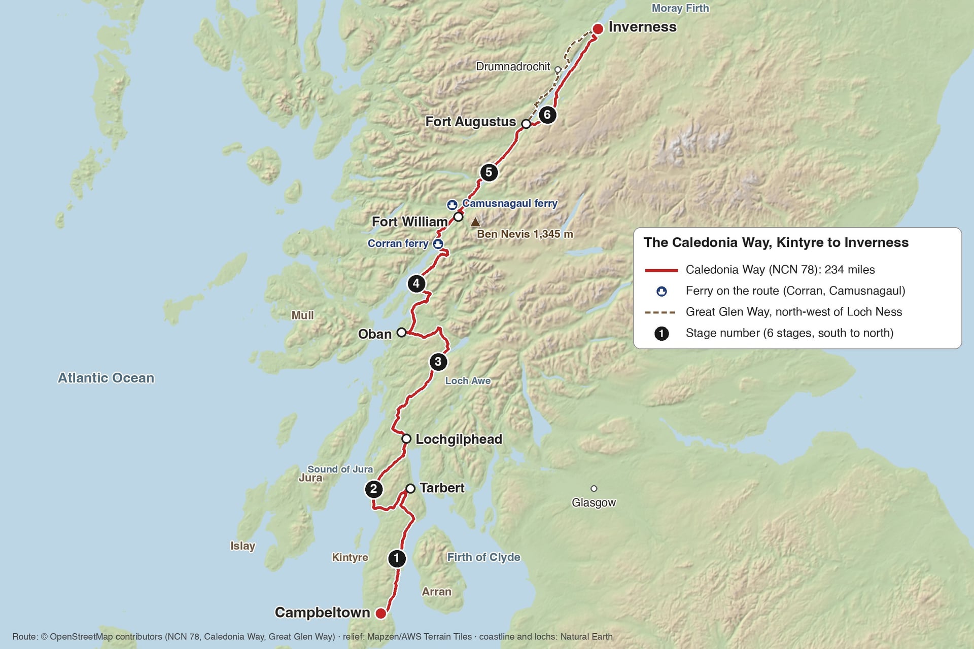
The route is National Cycle Route 78, about 234 miles (377 km) long, and six riding days suit most fit cyclists. Among the long cycling routes in Scotland, it is the one that links Kintyre, Argyll and the Great Glen.
Route: National Cycle Route 78, signed as the Caledonia Way
Length: about 234 miles (377 km), Campbeltown to Inverness
Traffic-free: 27%, mostly between Oban and Fort Augustus
Surface: 85% asphalt, the rest firm or loose gravel
Elevation gain: about 5,000 m, two-thirds of it in the first three stages
Highest point: about 390 m, on the B862 above Fort Augustus
Ferries: Corran and Camusnagaul, both on Stage 4
Best months: May to September
Does the Caledonia Way Follow the Caledonian Canal?
The route follows the Caledonian Canal only in the Great Glen. The canal links Fort William with Inverness through Loch Lochy, Loch Oich and Loch Ness, and the route uses its towpath from Banavie to Gairlochy and again for the last miles into Fort Augustus.
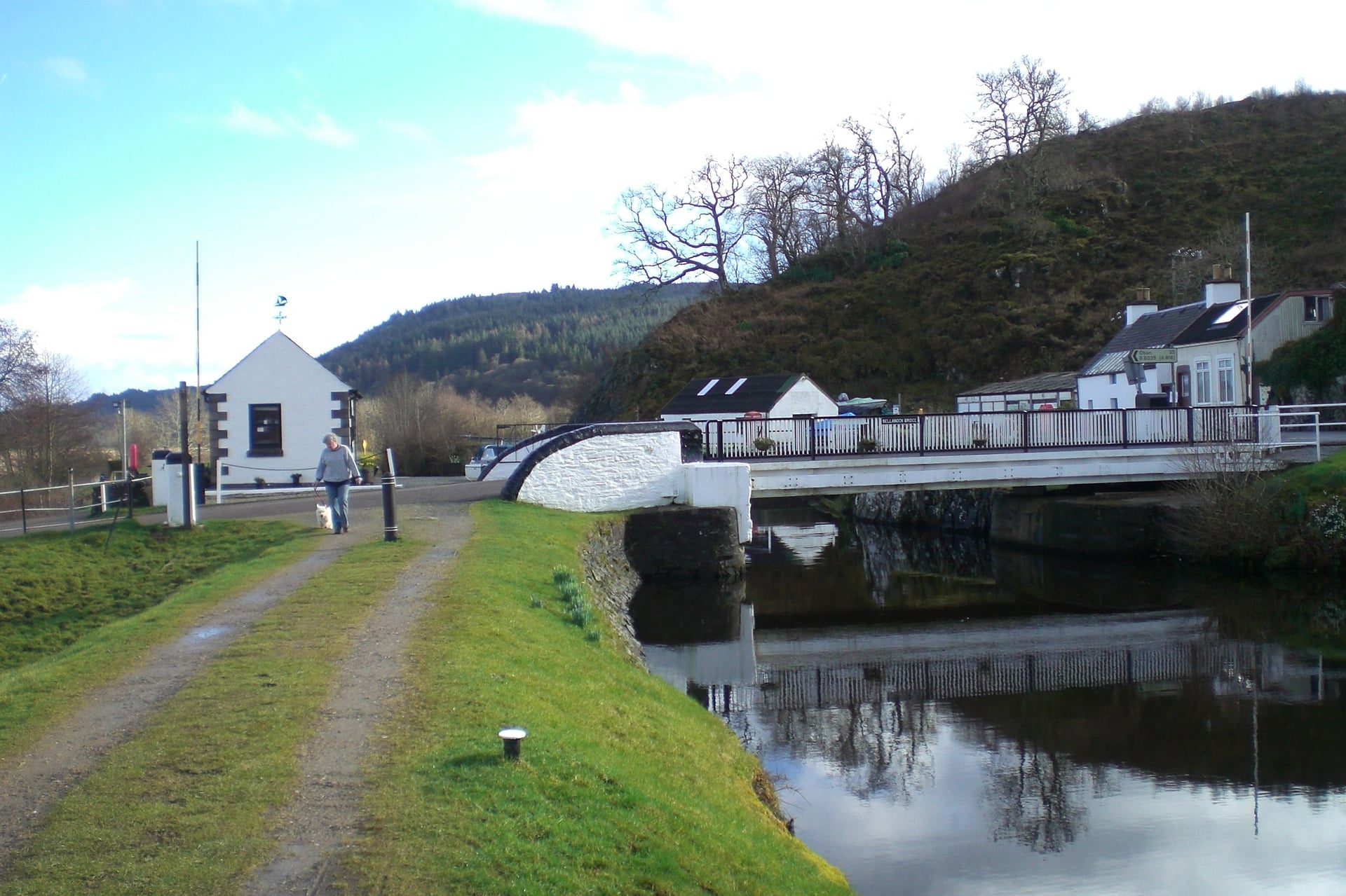
Further south the route rides part of a second canal. The Crinan Canal opened in 1801 and runs 9 miles through 15 locks, and Route 78 follows its towpath from Ardrishaig to Cairnbaan.
At Fort Augustus the route leaves the canal, because boats cross Loch Ness itself and there is no towpath along the loch. Route 78 takes quiet roads along the south-east shore, while the Great Glen Way follows the north-west shore past Urquhart Castle.
Caledonia Way Stage by Stage
The six stages end in the towns where most riders sleep, and they follow the signed line from south to north. Ride it in that direction: the signs work both ways, but the prevailing south-westerly wind is usually behind you, and the hilliest stages come while your legs are fresh.
Stage distances include the short ride into Tarbert and back, so together they add up to slightly more than the signed route.
Stage 1: Campbeltown to Tarbert
Distance: 38 miles (61 km)
Elevation gain: about 1,200 m
Surface: the B842 and B8001, then the A83
Traffic-free: none
Where to sleep: Carradale, Tarbert
Campbeltown was once a whisky capital, and three distilleries still work in the town: Springbank, Glen Scotia and Glengyle. The route leaves past Davaar Island and follows the B842 up the east coast of Kintyre, with Arran across Kilbrannan Sound.
It is one of the hardest days on the route, because the coast road climbs and drops all day past Saddell and Carradale, with short ramps of about 10%. At Claonaig it turns inland on the B8001 to Kennacraig, where the Islay ferry leaves, and joins the A83.
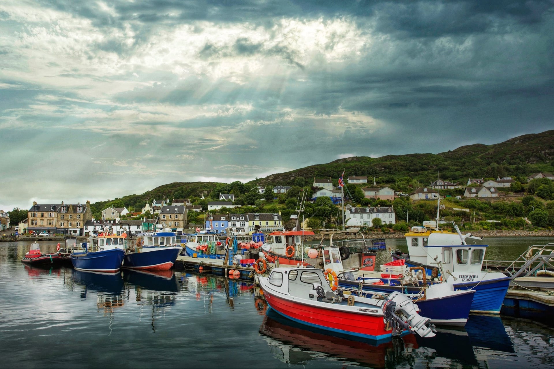
Route 78 turns off before Tarbert itself, so ride the last mile into the village. Tarbert has shops, cafés, a harbour full of fishing boats and the ruins of Tarbert Castle above it.
Stage 2: Tarbert to Lochgilphead
Distance: 34 miles (55 km)
Elevation gain: about 800 m
Surface: the single-track B8024, then a forest track and the canal towpath
Traffic-free: about 4 miles (7 km), near Ardrishaig
Where to sleep: Lochgilphead
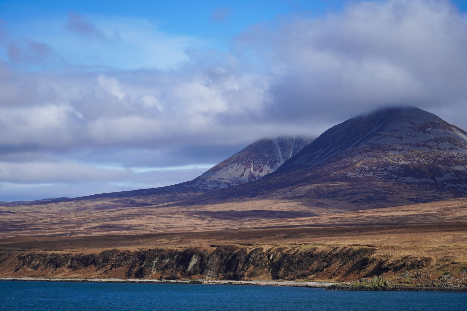
The Kilberry road is the quietest part of the whole route. The single-track B8024 loops around the Knapdale coast for 28 miles, with Jura and Islay across the sound and only a few farms and hamlets on the way.
At Kilberry a roadside shelter holds the Kilberry Sculptured Stones, early Christian grave slabs and medieval crosses that are free to visit. The Kilberry Inn is closed for a full renovation, with no reopening date, so carry lunch from Tarbert.
After Loch Caolisport the road climbs to about 200 m before it drops towards Loch Fyne. A forest track keeps you off the A83 for the last 3 miles into Ardrishaig, where the Crinan Canal begins, and the towpath leads on to Lochgilphead.
Stage 3: Lochgilphead to Oban
Distance: 50 miles (81 km)
Elevation gain: about 1,250 m
Surface: towpath and paths, then minor roads along Loch Awe and through Glen Lonan
Traffic-free: about 6 miles (9 km), on the Crinan Canal and in Kilmartin Glen
Where to sleep: Kilmartin, Taynuilt, Oban
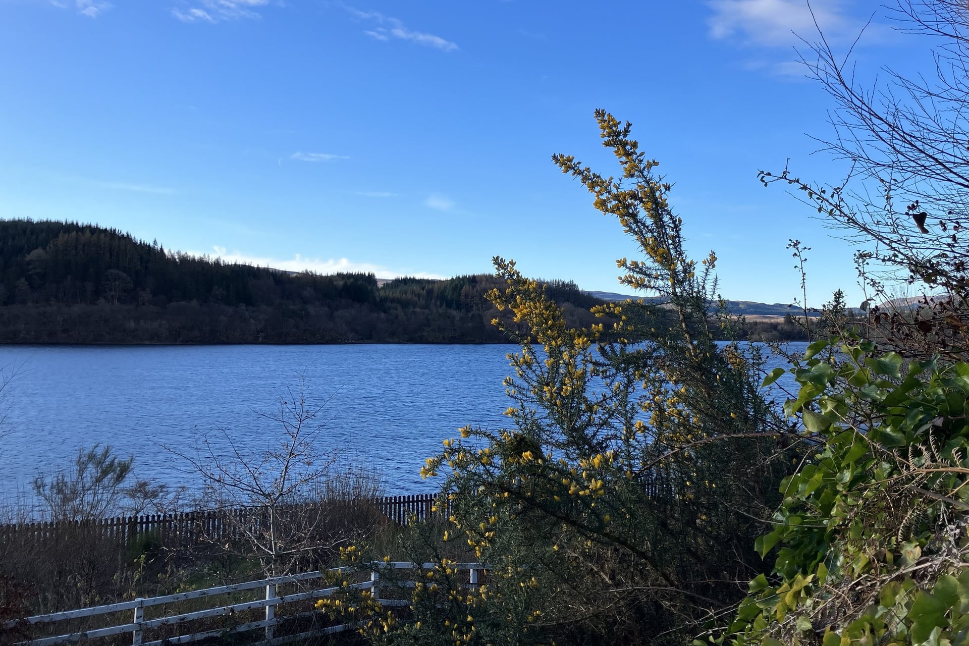
Stage 3 is the longest and hilliest stage on the route. It starts on the Crinan Canal towpath, then leaves the canal at Cairnbaan and crosses the flat Moine Mhor bog towards Kilmartin.
Kilmartin Glen has more than 800 ancient monuments within six miles of the village. A traffic-free path runs past burial cairns and standing stones, so you see several from the saddle without a detour.
From Ford a minor road follows the west shore of Loch Awe for 18 miles through Dalavich and Kilchrenan, with some of the steepest climbs on the route. Kilchurn Castle, often pictured with the loch, stands 6 miles off the route at its north-east end.
From Kilchrenan the road runs down to Taynuilt, then west through Glen Lonan, a quiet valley of farms and woods, into Oban. The town is the biggest stop between Campbeltown and Fort William.
Stage 4: Oban to Fort William
Distance: 48 miles (78 km), plus two short ferry crossings
Elevation gain: about 700 m
Surface: tarmac path on the old railway line, then the single-track A861
Traffic-free: about 25 miles (41 km), mostly between Benderloch and Ballachulish
Where to sleep: Ballachulish, Fort William
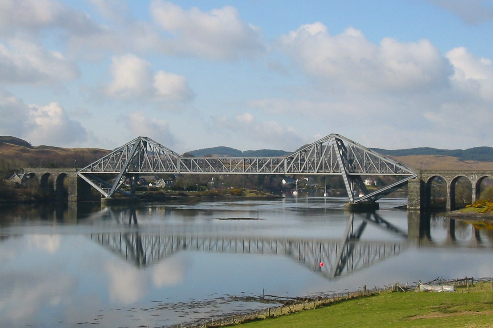
Stage 4 is the easiest long day. From Oban the path crosses Connel Bridge over the mouth of Loch Etive, then follows the line of the old Connel to Ballachulish railway, which closed in 1966. Most of the way is flat and traffic-free, beside Loch Creran and Loch Linnhe.
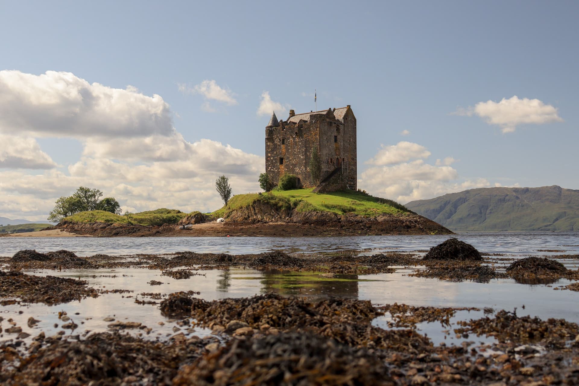
At Appin the path passes Castle Stalker on its tidal islet in Loch Laich. Sir John Stewart, Lord of Lorn, built most of the present tower house in the 1440s, on the site of a small fort from about 1320.
The Ballachulish Bridge, opened in 1975, carries the route over the mouth of Loch Leven. A few miles on, the Corran ferry crosses Loch Linnhe in about five minutes, every 20 to 30 minutes, seven days a week.
From Ardgour the single-track A861 runs 11 miles along Loch Linnhe to Camusnagaul, where a small ferry crosses to Fort William. This ferry does not sail on Sundays, and the only other way round is a 20-mile detour by Loch Eil, partly on the busy A830.
Stage 5: Fort William to Fort Augustus
Distance: 33 miles (53 km)
Elevation gain: about 400 m
Surface: canal towpath, forest roads and an old railway path, partly loose gravel
Traffic-free: about 25 miles (40 km)
Where to sleep: Banavie, Fort Augustus
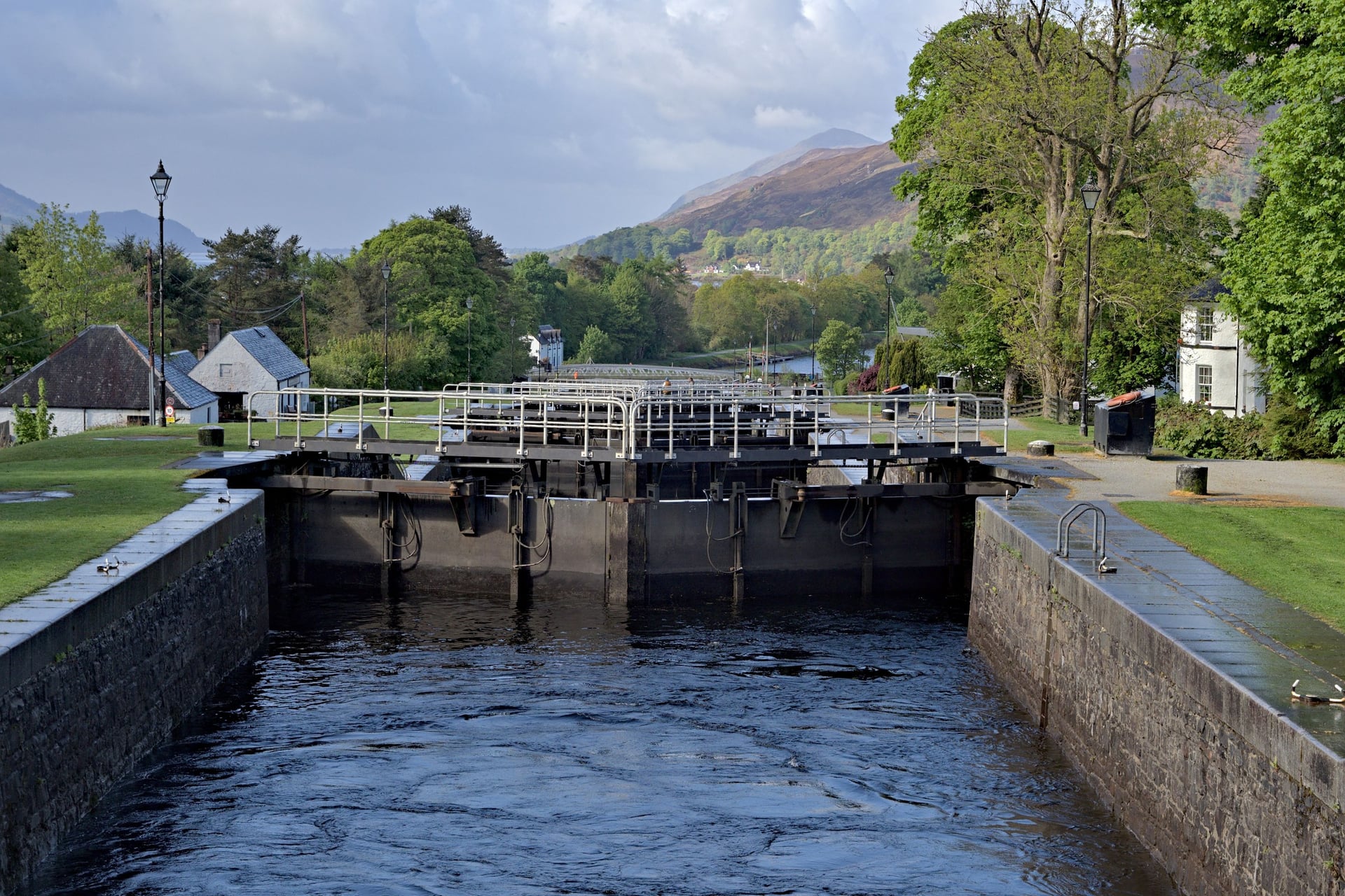
Ben Nevis rises behind you as the route leaves Fort William for Banavie. There, Neptune's Staircase lifts the Caledonian Canal 19 m through eight locks, and the towpath runs on for 6 miles to Gairlochy at the foot of Loch Lochy.
Along Loch Lochy the route uses a quiet road and then forest roads high on the north-west shore. Expect a long diversion here until June 2029: work on the Coire Glas hydro scheme has moved the path higher up the hillside, onto surfaces and gradients below the usual cycle-route standard.
From Laggan Locks the route follows the old railway line along Loch Oich, then the towpath again into Fort Augustus, where a flight of five locks lowers the canal to Loch Ness. This stage shares its line with the Great Glen Way, so expect walkers on the paths.
Stage 6: Fort Augustus to Inverness
Distance: 34 miles (55 km)
Elevation gain: about 650 m
Surface: the B862 and B852, then quiet lanes
Traffic-free: about 5 miles (7 km), mostly near Inverness
Where to sleep: Foyers, Inverness
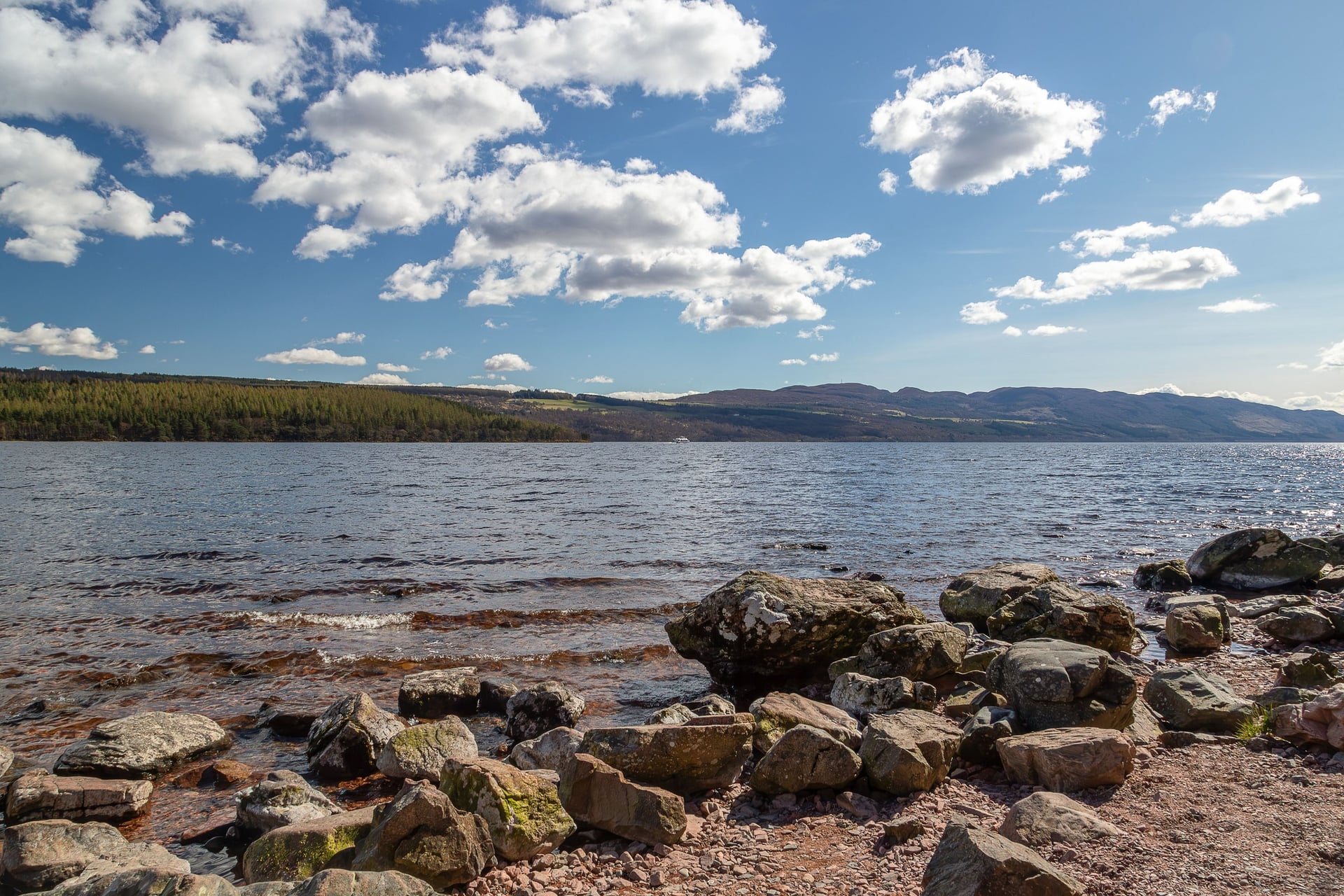
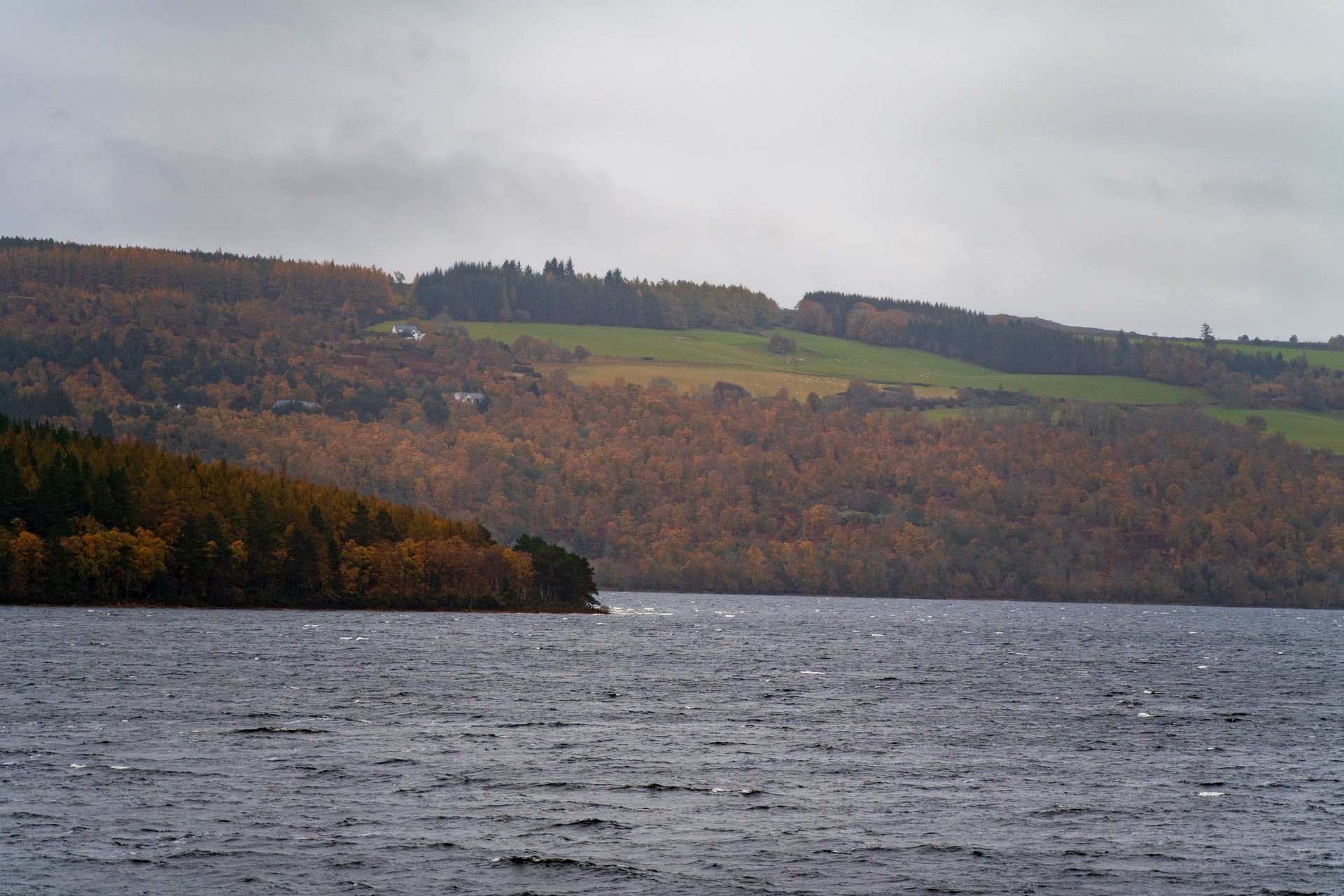
The last stage starts with the biggest single climb on the route. The B862 rises about 370 m in 5 miles out of Fort Augustus to the highest point of the Caledonia Way, about 390 m, and its steepest kilometre averages over 10%.
From the top the road crosses open moorland past Loch Tarff, then drops through Whitebridge to Foyers. The Falls of Foyers, a 140-foot drop into a wooded gorge, are a short walk below the road.
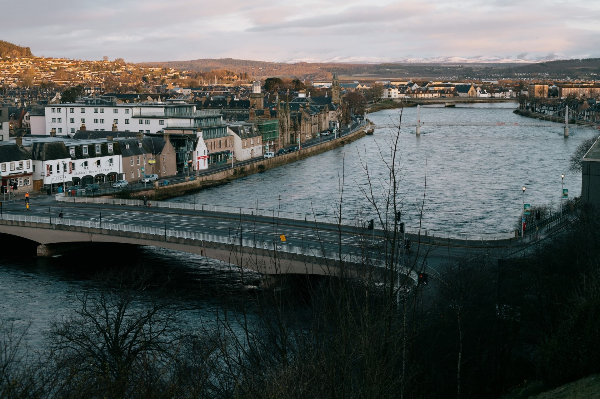
The rest follows the south-east shore of Loch Ness on the B852 to Dores, where a shingle beach looks down the length of the loch. Lanes lead from there into Inverness, past the castle to the River Ness.
The Great Glen Way is the other way north. It follows the north-west shore past Invermoriston, Drumnadrochit and Urquhart Castle, about 40 miles with roughly twice the elevation gain and more forest track.
How Many Days Do You Need?
Walk Wheel Cycle Trust puts the riding time at about 19.5 hours. These splits use the stage towns above:
Plan | Overnight stops | Daily miles |
4 riding days | Lochgilphead, Oban, Fort William | 72, 50, 48, 67 |
5 riding days | Tarbert, Lochgilphead, Oban, Fort William | 38, 34, 50, 48, 67 |
6 riding days | Tarbert, Lochgilphead, Oban, Fort William, Fort Augustus | 38, 34, 50, 48, 33, 34 |
For a seventh day, sleep at Ballachulish, two-thirds of the way along Stage 4. Add a travel day at each end, because the coach from Glasgow to Campbeltown takes about four hours.
How Hard Is the Caledonia Way Cycle Route?
You need fitness for this route more than skill: the hills are short and steep, and the long traffic-free stretches are close to flat.
Hills and the Highest Point
The first three stages carry about 3,250 m of the route's 5,000 m of elevation gain in 122 miles. The roads in Kintyre and Knapdale rise and fall with the coast, and the Loch Awe road adds repeated climbs through the forest.
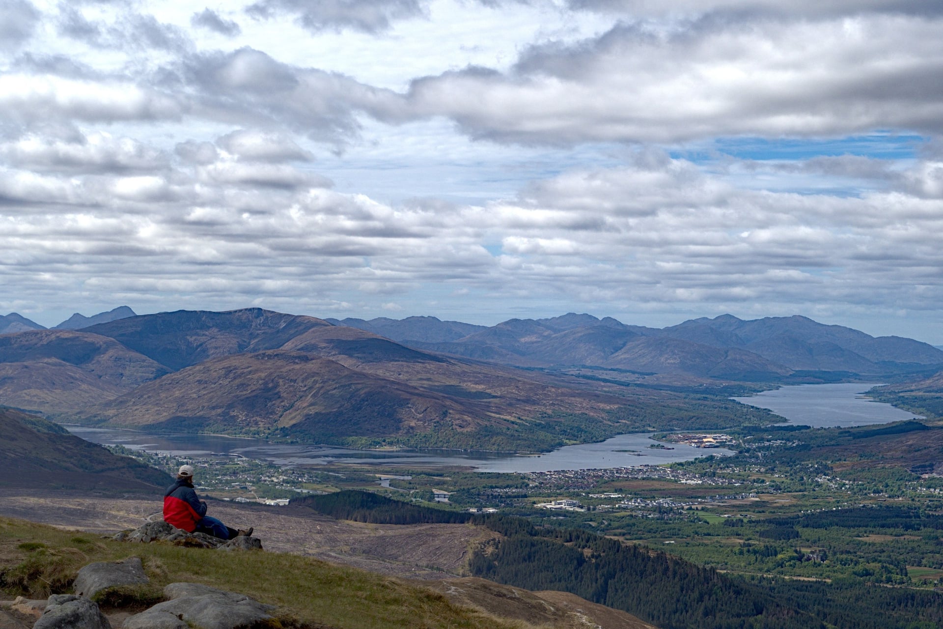
North of Oban the profile flattens on the railway path and the canal towpath. The exception is the 5-mile climb out of Fort Augustus to about 390 m. Low gears matter more than strength on all of these hills, especially on a loaded touring bike.
Surfaces and Which Bike
Most of the route is sealed: Walk Wheel Cycle Trust measures 85.1% asphalt, 11.5% firm unsealed surface and 3.5% loose. The rough parts are the forest roads above Loch Lochy, the Coire Glas diversion and parts of the towpaths.
A gravel, touring or hybrid bike with 35 mm tyres suits the whole route. A road bike with 28 mm tyres copes with most of it, but forest roads above Loch Lochy are slow and bumpy on narrow tyres. An e-bike helps in Kintyre and on the Fort Augustus climb.
Traffic, Ferries and Closures
About 27% of the route is traffic-free, most of it between Oban and Fort Augustus. Busy roads are short: a few miles of the A83 near Tarbert, Connel Bridge and the streets of Oban and Fort William.
On single-track roads, such as the A861 in Ardgour, use the passing places and ride in single file on blind bends.
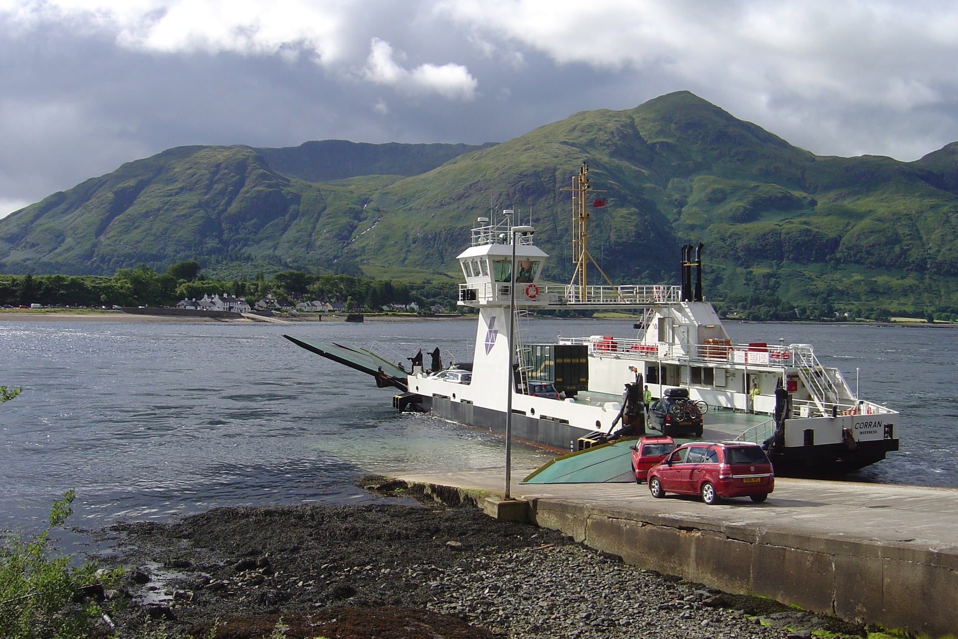
Both ferries are on Stage 4. The Corran ferry runs all day, seven days a week. The Camusnagaul ferry, run by Highland Ferries, leaves Camusnagaul at 08:15, 10:45, 12:30 and 16:35 from Monday to Saturday, with a 17:30 crossing on request.
That timetable shapes the day, so plan to reach Camusnagaul before the 16:35 sailing. Before you set off, check the closures on the official route page; the Loch Lochy diversion stays in place until June 2029.
Waymarking and Navigation
Route 78 is signed in both directions with blue National Cycle Network signs. The route's logo and many of its access gates are based on the birlinn, a Highland galley. Walk Wheel Cycle Trust sells waterproof maps and offers the official route and free GPX files.
Signs go missing in towns, and the Loch Lochy diversion changes the line, so load the GPX before you start. The Kilberry road and the Loch Awe shore are long stretches with few villages, where a wrong turn costs miles.
Best Time to Cycle the Caledonia Way
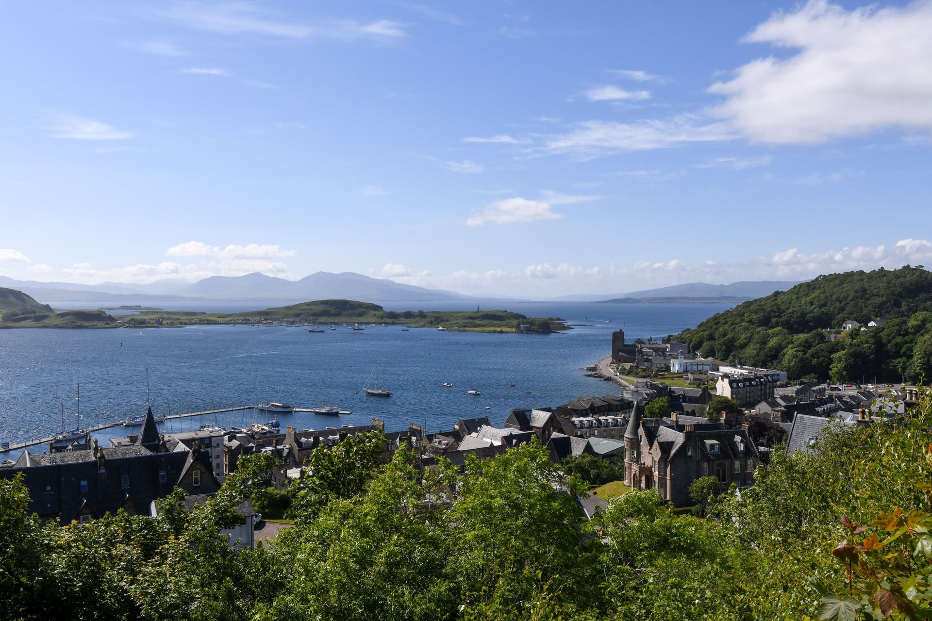
The west coast is wettest in winter and driest in late spring, so the riding season runs from May to September. Long-term averages at Dunstaffnage, just north of Oban, show the pattern.
April: 12 °C by day and about 14 hours of daylight by mid-month; some cafés and guesthouses have not yet opened.
May and June: the sunniest months, with 192 and 171 hours of sunshine and about 95 mm of rain a month, under half the December and January figures.
July and August: the warmest months at 18 °C, with the busiest beds and the most midges.
September: still 16 °C, with quieter roads but 141 mm of rain and about 12.5 hours of daylight by mid-month.
October to March: 8 to 13 °C, 140 to 210 mm of rain a month and under 7 hours of daylight in late December.
For most riders, May, June and September are the best months. Midges are worst from late May to early September on still, damp evenings, so a moving rider is fine but a campsite at dusk is not. Late June brings nearly 18 hours of daylight.
Know Before You Arrive
The route is easy to follow once you are on it; most of the planning goes into reaching Campbeltown and booking beds on the quiet stretches.
Getting to Campbeltown
Campbeltown has no railway, and in 2026 it has no ferry from the mainland either. CalMac cancelled the Ardrossan sailings for the whole summer timetable because no vessel was free.
Way | From | Time | Bikes |
Citylink coach 926 | Glasgow | from 4 h 05 | One bike space; book it with your seat |
Loganair flight | Glasgow Airport | about 45 min | Not carried on the Twin Otter |
CalMac ferry to Claonaig | Lochranza, Arran | 30 min | Free; joins the route 28 miles north |
The Citylink coach is the only public transport into Campbeltown that takes a bike. E-bikes cannot travel on it at all. Loganair flies the route with a Twin Otter, which cannot carry bicycles.
Getting Home From Inverness
Inverness has the best rail links on the route. ScotRail trains reach Glasgow Queen Street in about 3 hours 30 minutes and Edinburgh in under 4 hours. Bikes travel free, but book a bike space with your ticket: on the Highland line a cycle reservation is compulsory.
The Caledonian Sleeper runs overnight to London with free bike reservations, six in racks and two in bags per train. LNER's Highland Chieftain runs once a day to London King's Cross in about eight hours, and it also needs a free bike reservation.
Where to Stay
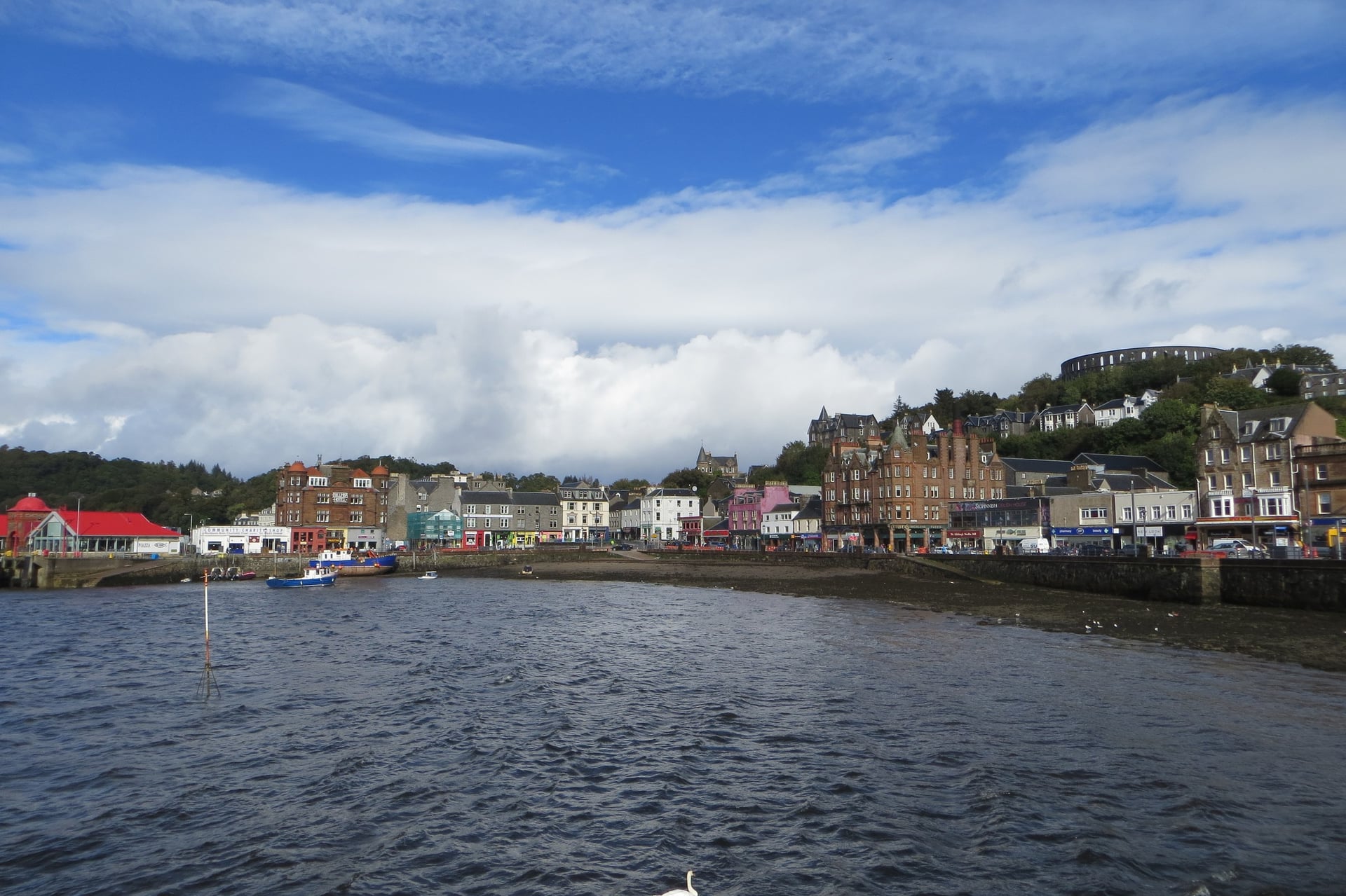
Oban, Fort William and Inverness have the most beds. The gaps are in Kintyre and on the Kilberry road, where a village may have one hotel or none.
Tarbert: small hotels and B&Bs round the harbour; Struan House, for example, has six rooms, four with harbour views.
Kilberry road: no beds or meals while the Kilberry Inn is closed for renovation.
Oban: the youth hostel on the seafront has dorms and en-suite rooms, a drying room, a self-catering kitchen and secure bike storage with a bike wash.
Fort Augustus: Morag's Lodge has dorms of four to six beds and private rooms, all with their own bathrooms.
Foyers: the Loch Ness Shores campsite has 96 pitches on the shore, a small shop and backpacker facilities, and it opens all year.
Inverness: the widest choice on the route, from hostels to large hotels.
Book July and August early, especially in Tarbert, Oban and Fort Augustus. Wild camping is allowed under the Scottish Outdoor Access Code if you camp lightly, in small numbers and for two or three nights in one place, away from houses and roads.
How Much Does It Cost?
The route is free to ride; the costs are beds, the two ferries and the journey to Campbeltown.
Corran ferry: £2 for a foot passenger, and bikes go free.
Camusnagaul ferry: £3.50 for a cyclist with a bike.
Hostel bed: from £33.50 per person in a dorm at Morag's Lodge, Fort Augustus.
Campsite pitch: from £11.80 a night at Loch Ness Shores for Camping and Caravanning Club members.
Trains: ScotRail and Caledonian Sleeper bike reservations cost nothing.
Sights: the Kilberry Sculptured Stones, Kilmartin Glen's cairns and the Falls of Foyers are free.
What to Pack
Dunstaffnage, near Oban, averages about 1,730 mm of rain a year, and rain is possible on any day of the trip, even in June.
For any multi-day ride:
Waterproof jacket and overshoes, a warm layer and full-finger gloves
Spare tubes, a pump and a multi-tool, plus a spare chain link
Front and rear lights and a rear reflector, which the law requires after dark
Phone with the GPX file, a power bank and two water bottles
For the Caledonia Way:
Tyres of 35 mm or wider for the forest roads above Loch Lochy
Cash and a card for the two ferries
Midge net and repellent from late May to early September
Lunch for Stage 2, as there is no café on the Kilberry road
Spare brake pads, because the main bike shops are in Oban, Fort William and Inverness
Whole Route or One Section?
If you have only a few days, Oban to Fort William is the best single section. Its 48 miles are mostly traffic-free and close to flat, with Castle Stalker and two ferries on the way, and trains from Glasgow reach Oban in about 3 hours.
The Great Glen third, from Fort William to Inverness, is a two-day ride on its own, and the 516-mile North Coast 500 is the step up for a harder road trip. The whole Caledonia Way takes six days or more, a coach to the start and beds booked well ahead for July and August.
Our self-guided Scottish Highland's Caledonia Way Bike Tour rides from Campbeltown to Inverness and takes care of the beds and the bags:
Duration: 9 days / 8 nights with 7 riding days, May to September
Route: Route 78 to Fort William, then the Great Glen Way via Invergarry and Drumnadrochit, 24 to 50 miles a day
Included: 8 nights in 3-star hotels with breakfast, daily luggage transfer, a GPS app, a digital guidebook and support on tour
Ferry tickets and tourist tax are paid locally. Ask us about dates for next season.
From the harbour in Campbeltown to the river in Inverness, the Caledonia Way follows Kintyre, the sea lochs around Oban and then the whole of the Great Glen.
Frequently Asked Questions

Plan with a cycling expert
Free advice from a team that knows these routes inside out - real people, not a bot

Hassle-Free
We take care of route planning, accommodations, luggage transfers, and all logistics, so you can focus purely on enjoying your ride.

Tried & Tested Adventures
Our cycling routes are hand-picked & tested, to ensure breathtaking landscapes, smooth roads, and maximum safety - giving you the perfect ride every day.

Unbeatable Support
Our 24/7 customer support is where we show our passion, ensuring your cycling holiday runs smoothly and your well-being is always our top priority.

Book with Confidence
We are a financially protected company, fully bonded and insured, keeping your money safe and allowing you to travel with confidence.
