North Coast 500 Cycle Route: The 516-Mile Loop in 8 Stages
The 516-mile loop from Inverness in eight stages, with the distance and climb for each, the Bealach na Bà, single-track road rules and where to restock.
Quick links
Don't want to read all this?
We've planned 800+ cycling trips. Send your dates, fitness and group size — we'll map the route and book every night.


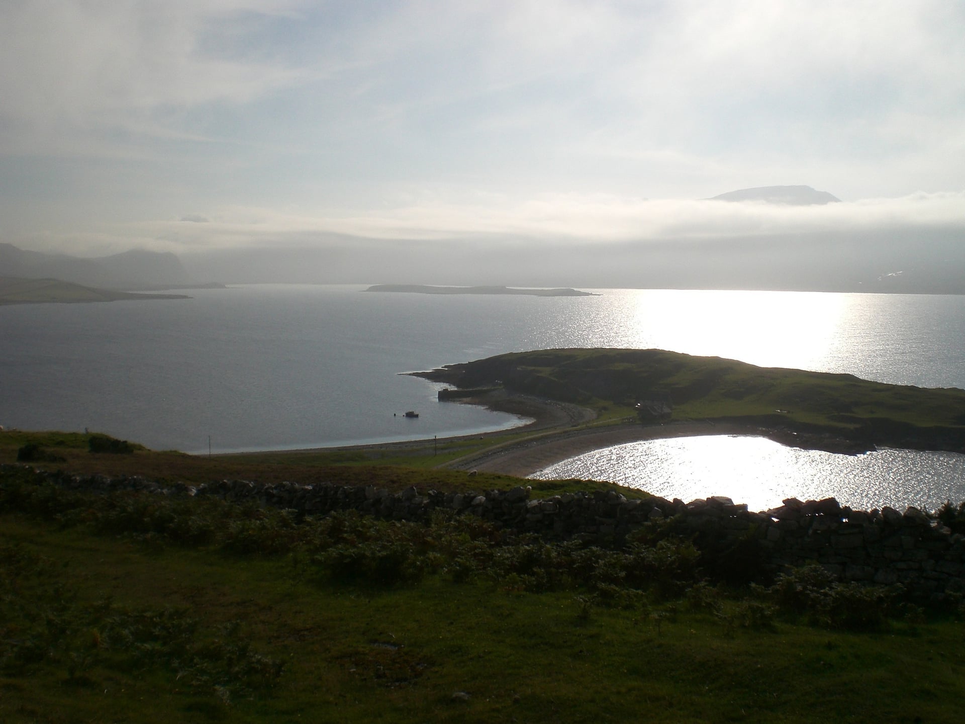
The North Coast 500 takes you past sea lochs and under sandstone mountains that rise straight out of the moor. In the west the road climbs in and out of every bay, with villages up to 20 miles apart. Along the top of Scotland you ride above white beaches with Orkney on the horizon.
The loop runs 516 miles (830 km) from Inverness and back. It opened in 2015 as a touring route for drivers, and the press soon nicknamed it "Scotland's Route 66". On a bike, most riders need a week or more at 60 to 70 miles a day.
Its best-known climb is the Bealach na Bà, which rises from sea level to 626 m above Applecross. Riders who want something gentler can start with the canal and railway paths among the cycling routes in Scotland.
North Coast 500 at a Glance
The NC500 is a loop of public roads, so planning it comes down to the direction, the daily distance and where you sleep.
Length: 516 miles (830 km), from Inverness and back
Direction: usually clockwise, west coast first
Stages: 8 stages of 50 to 69 miles (80 to 110 km)
Climbing: about 10,500 m in total, more than half of it on stages 2 to 4
Highest point: 626 m on the Bealach na Bà
Road: public roads, with long single-track stretches in the west and north
Signs: brown NC500 tourist signs in places, no cycle route signs
Season: May to September
Clockwise or Anticlockwise?
Most riders go clockwise, west coast first. The official NC500 site calls it the favoured direction because the prevailing wind in the region is south-westerly, although northerly and easterly winds are common in spring.
Clockwise also puts the hardest climbing, from the Bealach na Bà to Assynt, in the first half of the trip. You climb the Bealach from Tornapress, the side with the hairpins, and you finish on the gentler east coast.
North Coast 500 Stage by Stage
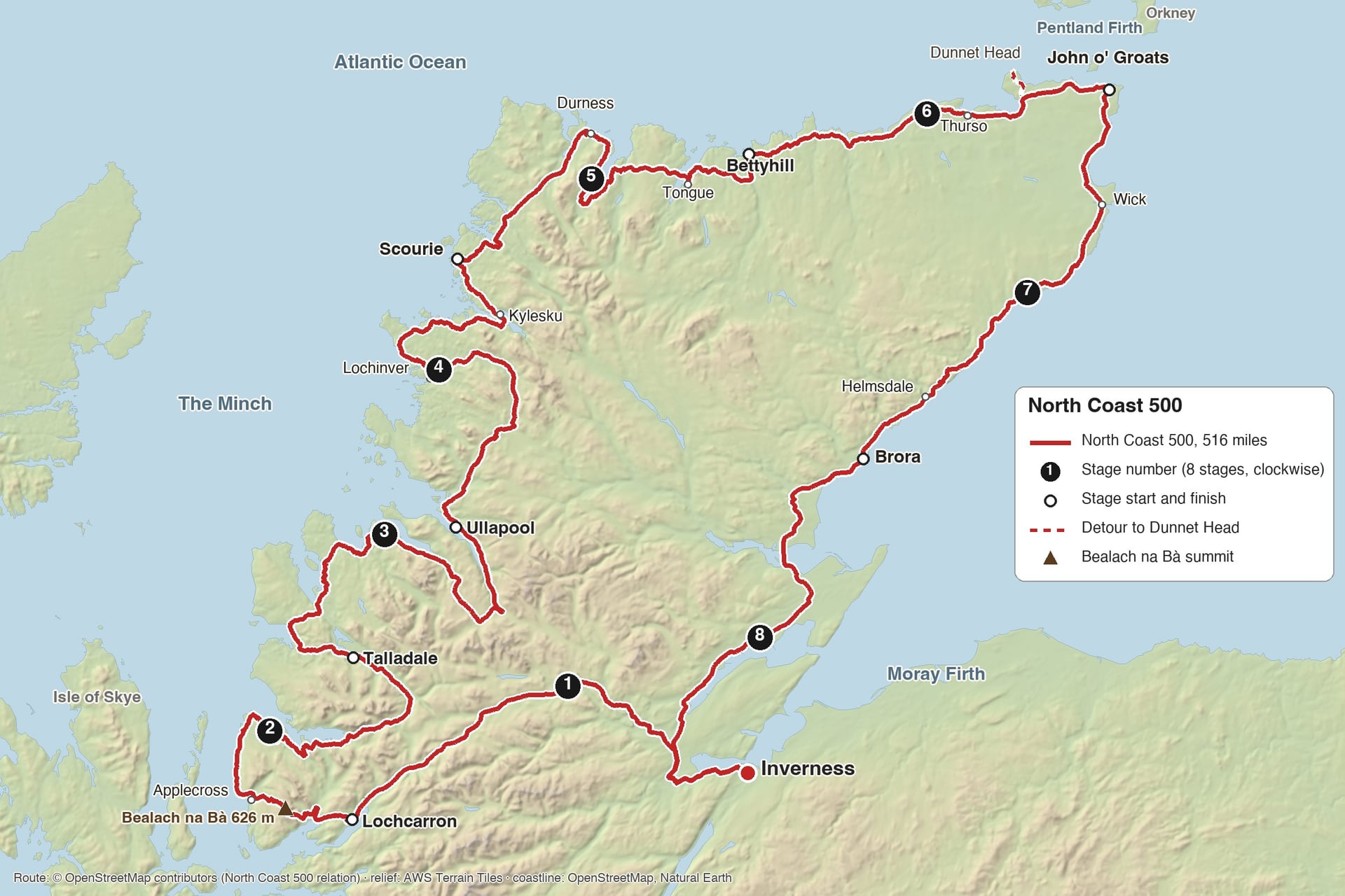
The eight stages below follow the NC500 clockwise and end in villages with beds and a shop. The west coast stages carry most of the climbing; after Thurso the hills get smaller and the traffic gets heavier.
Stage 1: Inverness to Lochcarron
Distance: 104 km (64 miles)
Elevation gain: about 590 m
Road: A-roads via Beauly, Garve and Achnasheen, then down Glen Carron
Shops: Beauly, Muir of Ord, Contin, Lochcarron
Where to sleep: Lochcarron, Strathcarron
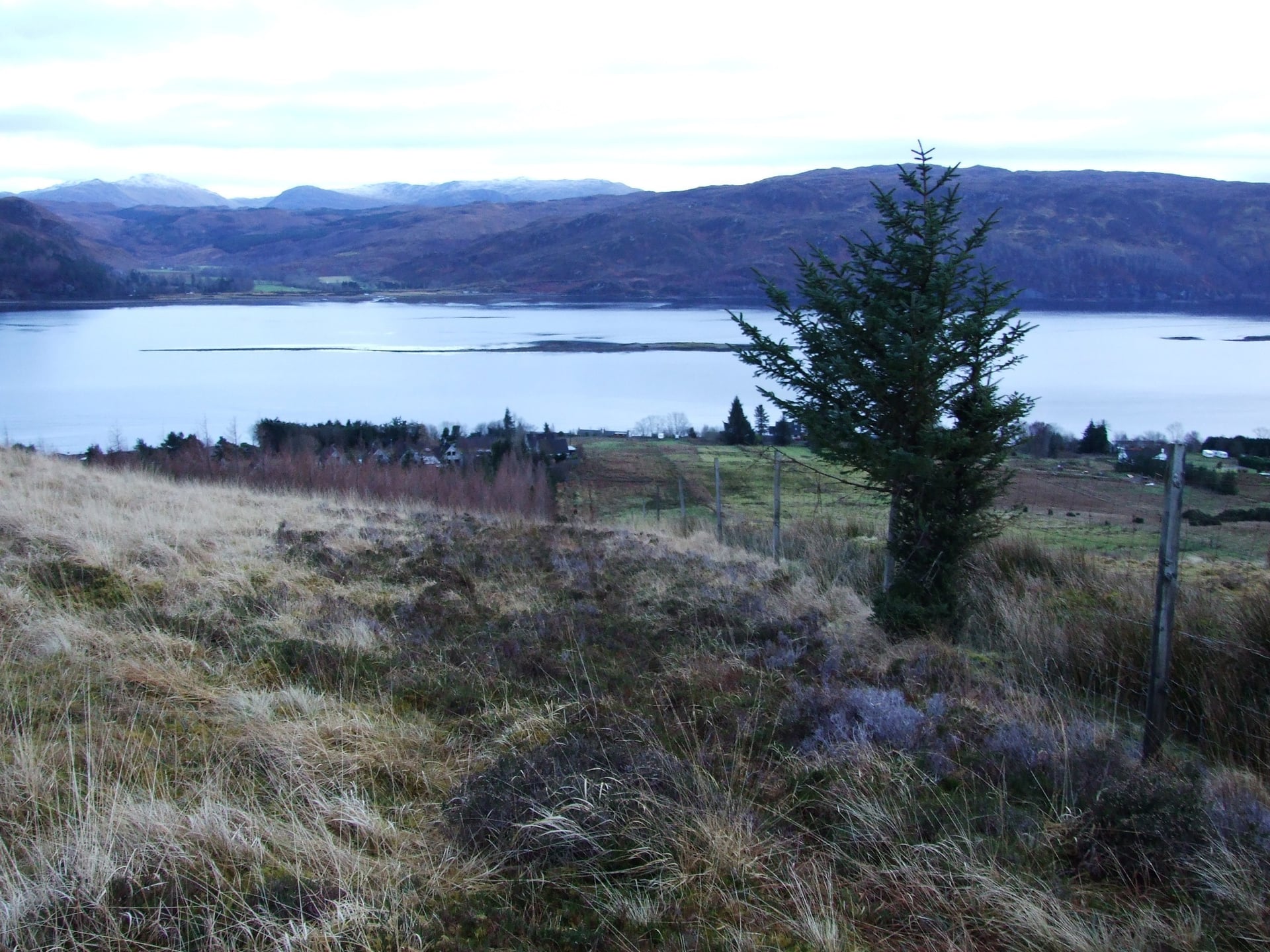
You leave Inverness beside the Beauly Firth and ride through Beauly and Muir of Ord to Contin. Stock up there: the next shop on the route is in Lochcarron, about 45 miles on, across empty glens and open moor.
The A835 between Contin and Garve is narrow and twisty, and it carries lorries and camper vans heading for Ullapool. Walk your bike over the level crossing in Garve, where the rails cross the road at a sharp angle. From Achnasheen the A890 drops through Glen Carron to the sea at Loch Carron.
Stage 2: Lochcarron to Talladale Over the Bealach na Bà
Distance: 110 km (69 miles)
Elevation gain: about 2,020 m
Road: single track over the Bealach na Bà and round the Applecross coast, then the A896 and A832
Shops: Shieldaig (closed in winter), Torridon, Kinlochewe
Where to sleep: Applecross, Shieldaig, Torridon, Kinlochewe, Talladale
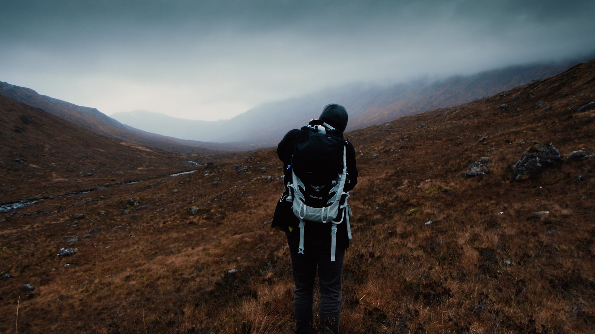
This is the stage most riders come for. From Tornapress the Bealach na Bà climbs 626 m in 9.1 km, an average of 7%. The hardest part is a 300 m ramp of 18 to 20% below the hairpins at the head of the corrie, and from the top you look across to Skye.
After the descent to Applecross, the coast road to Shieldaig is 23 miles of single track with about six steep hills and no shop or café until Shieldaig. In wind or rain, the A896 from Tornapress to Shieldaig skips the pass and the coast road and is about 27 miles shorter.
From Shieldaig the road runs under Liathach and Beinn Eighe, the mountains of Torridon, to Kinlochewe. The last miles follow the shore of Loch Maree to Talladale.
Stage 3: Talladale to Ullapool
Distance: 106 km (66 miles)
Elevation gain: about 1,490 m
Road: A832 via Gairloch, Poolewe and Gruinard Bay, then the A835
Shops: Gairloch, Poolewe, Aultbea, Ullapool
Where to sleep: Gairloch, Poolewe, Dundonnell, Ullapool
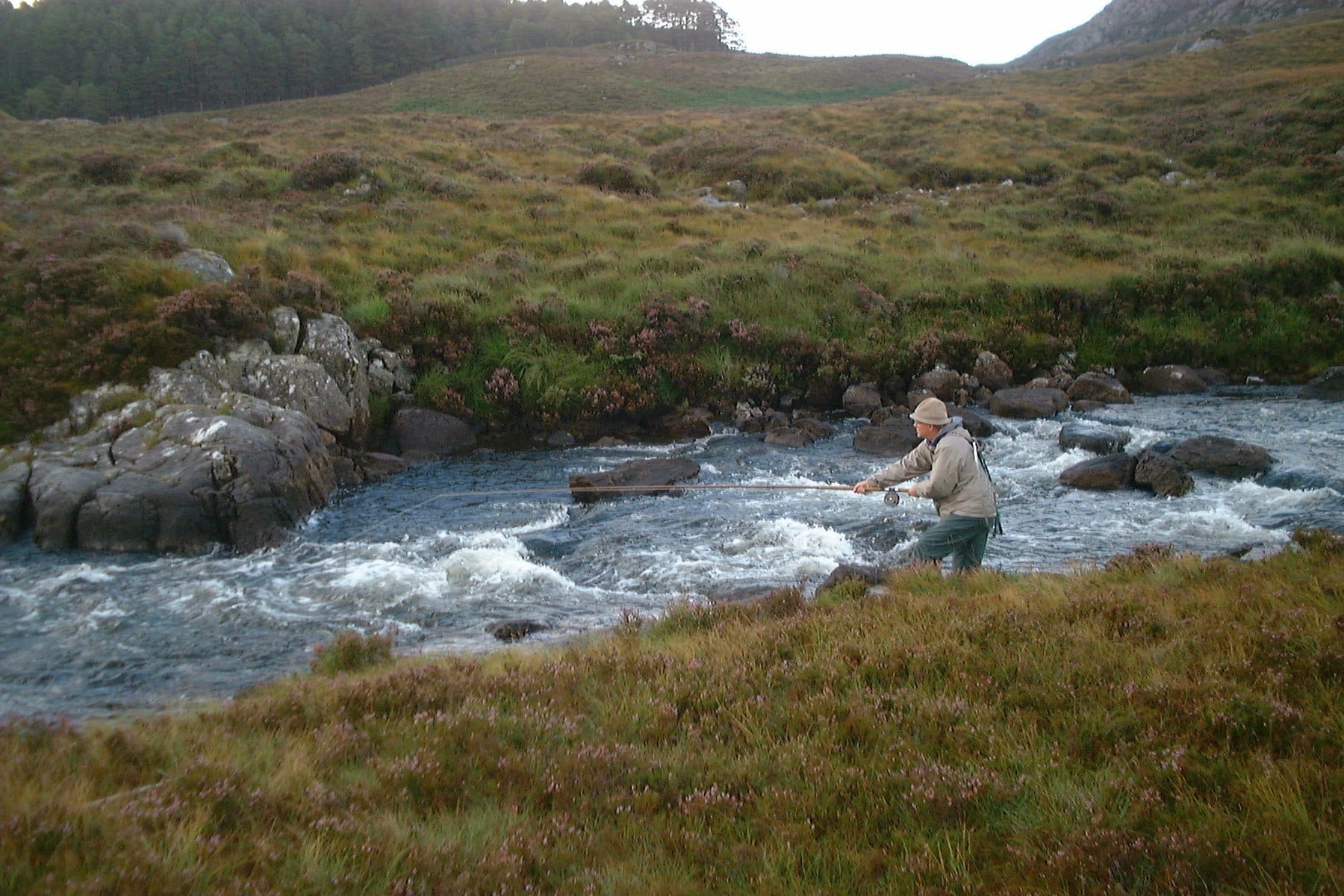
From Talladale the road follows the coast north through Gairloch to Poolewe, where the road passes Inverewe Garden at the head of Loch Ewe. Beyond Aultbea it drops to the sandy beaches of Gruinard Bay and climbs over the headland to Little Loch Broom.
From Dundonnell, under An Teallach, the road climbs onto open moor to about 340 m, the longest climb of the day, then drops to Braemore junction. The last 12 miles into Ullapool are on the A835, where traffic for the Stornoway ferry joins you.
Stage 4: Ullapool to Scourie Through Assynt
Distance: 110 km (69 miles)
Elevation gain: about 2,190 m
Road: A835 and A837 to Lochinver, then the single-track B869 by Drumbeg to Kylesku
Shops: Ullapool, Lochinver, Scourie
Where to sleep: Lochinver, Achmelvich, Drumbeg, Kylesku, Scourie
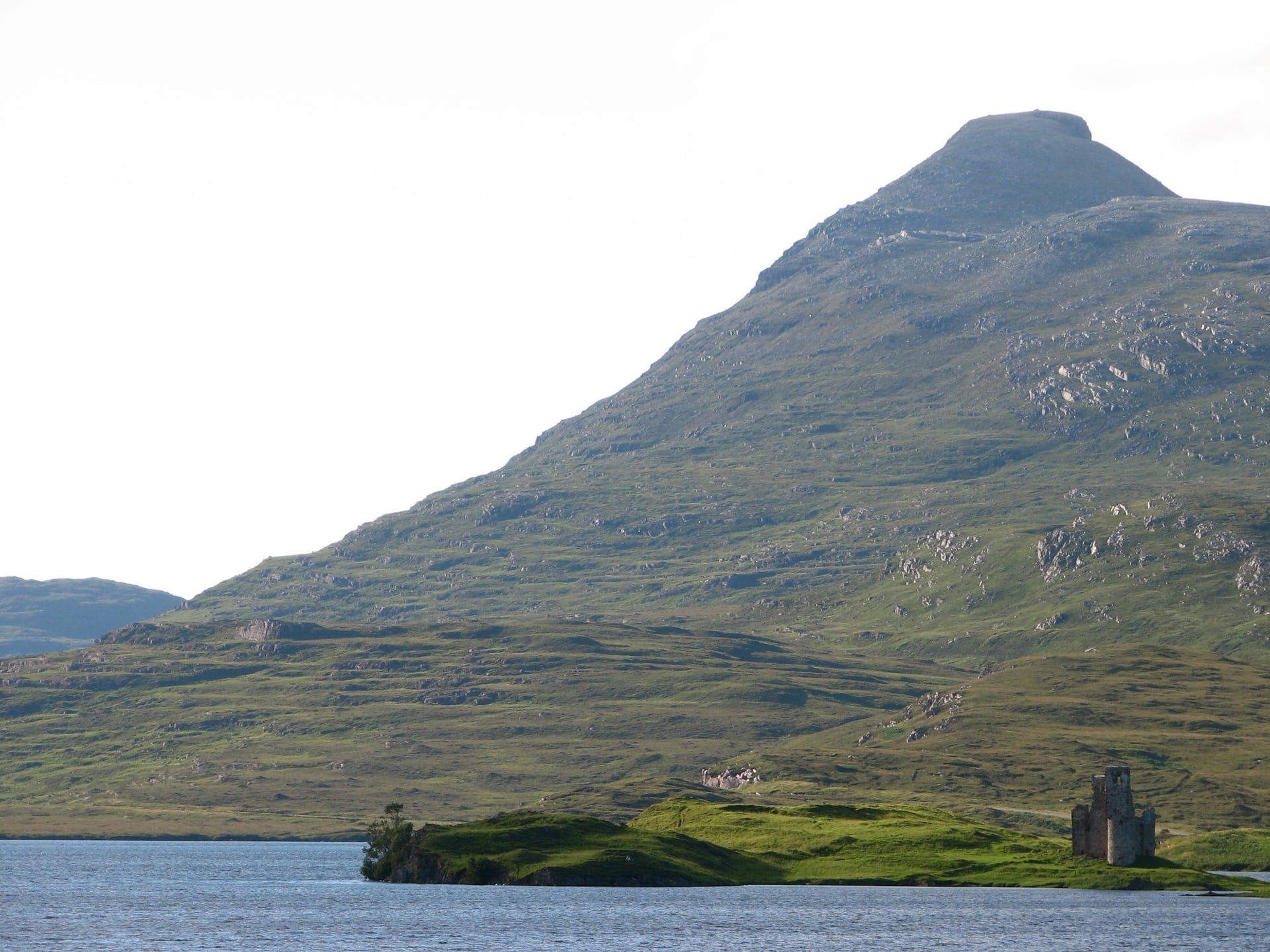
Stage 4 climbs more than any other stage, and most of the climbing comes after Lochinver. The 35 miles to Lochinver climb gently: north from Ullapool past Knockan Crag, then west from Ledmore along Loch Assynt, past the ruins of Ardvreck Castle.
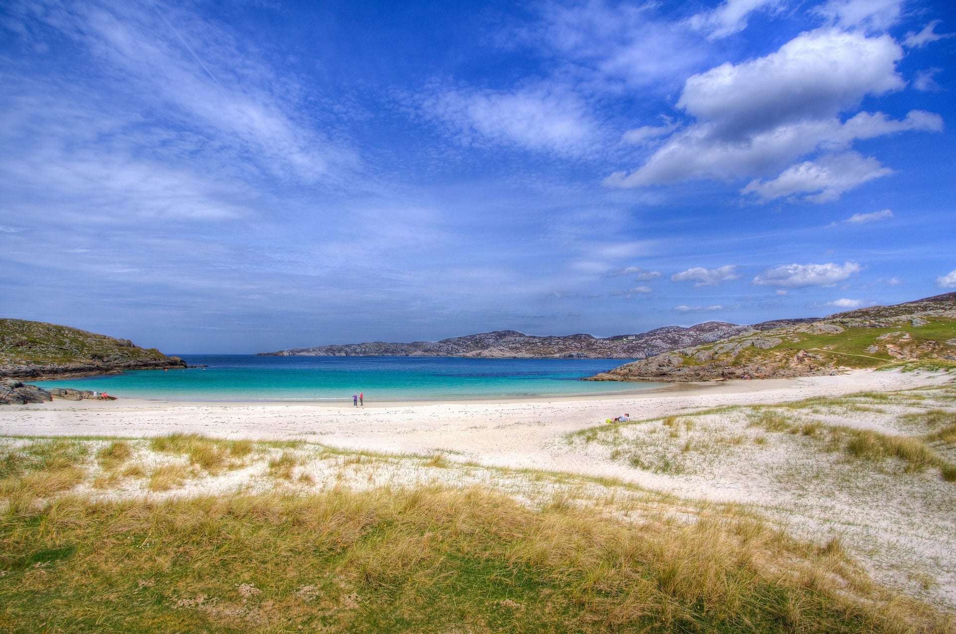
From Lochinver the B869 twists along the coast past Achmelvich, Clashnessie and Drumbeg for about 22 miles of single track. Short, steep climbs follow one another, and one is signed at 25%.
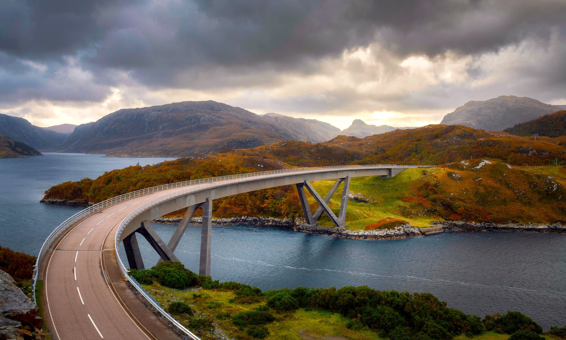
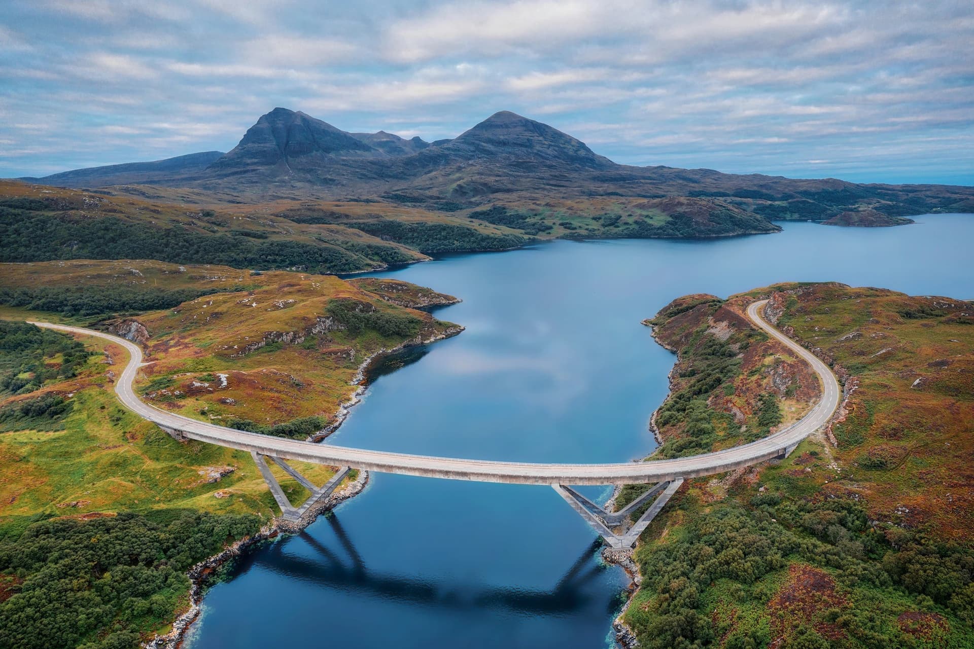
The road rejoins the A894 above Kylesku, where the Kylesku Bridge crosses the meeting of three sea lochs. It opened in 1984 and replaced a ferry. Scourie is 10 miles further north.
Stage 5: Scourie to Bettyhill
Distance: 110 km (68 miles)
Elevation gain: about 1,570 m
Road: single-track A838 via Durness and round Loch Eriboll, then the A836
Shops: Scourie, Durness, Tongue, Bettyhill
Where to sleep: Durness, Tongue, Bettyhill
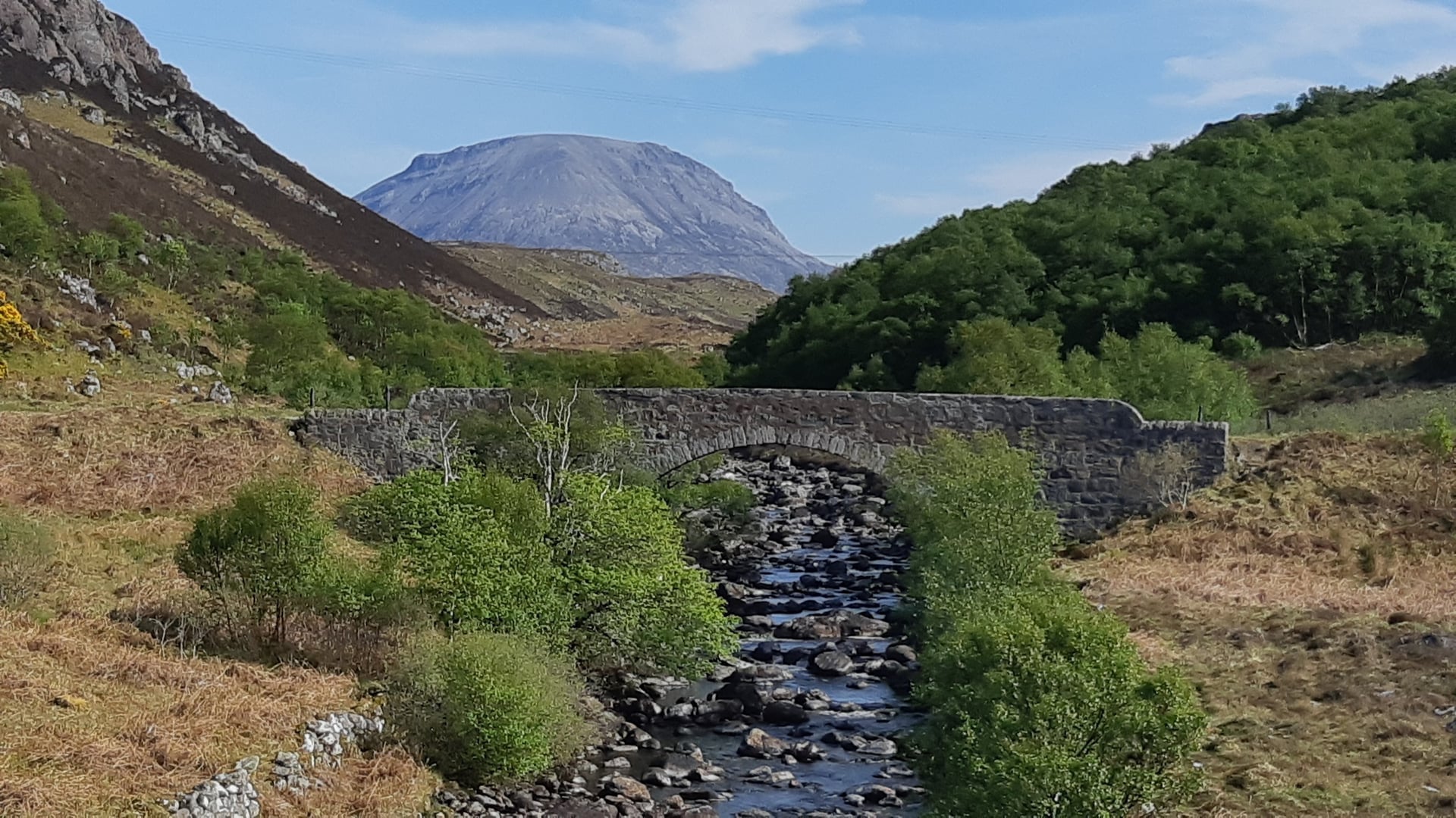
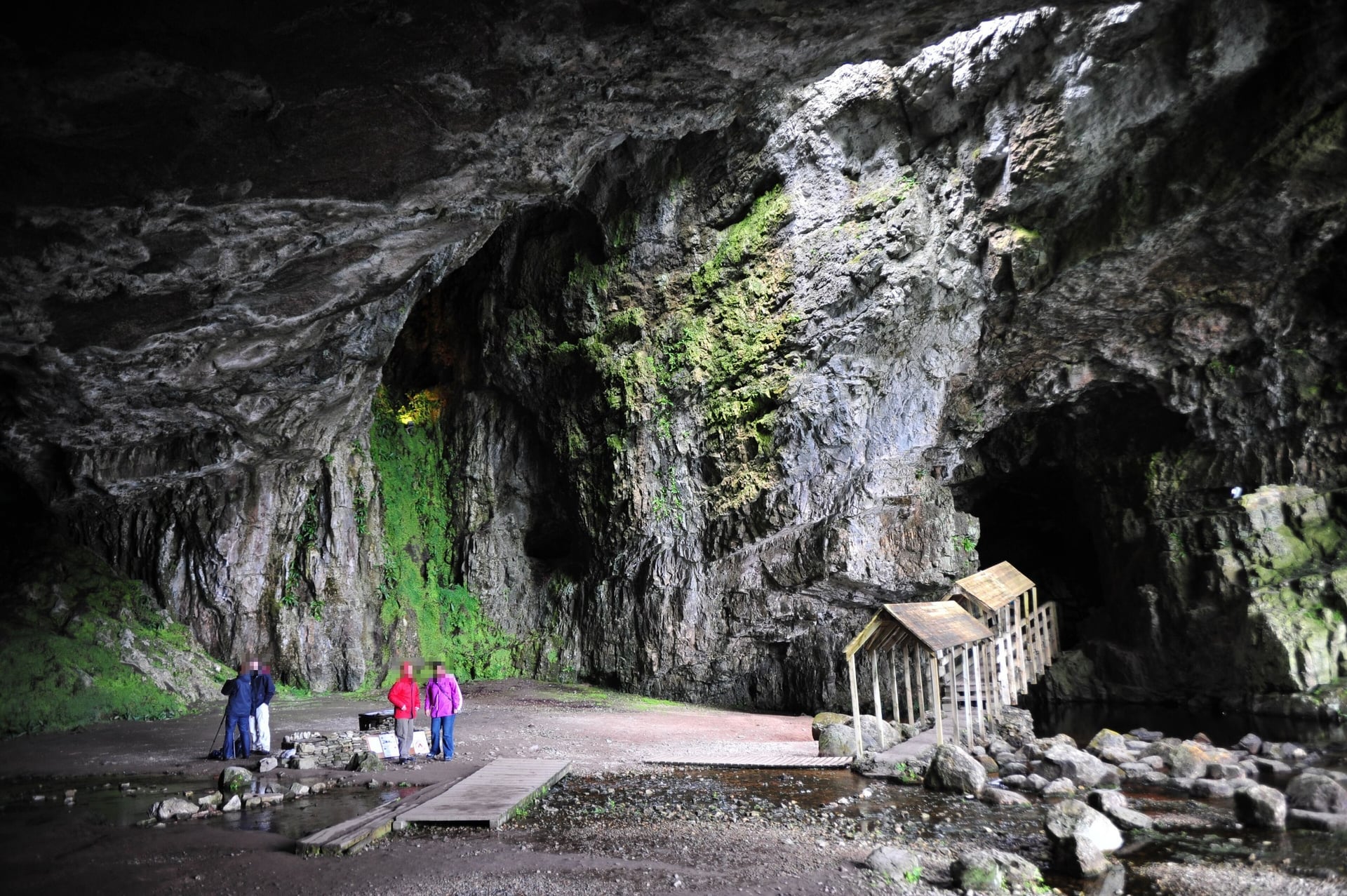
North of Scourie the road crosses bare grey rock and small lochs to Laxford Bridge and Rhiconich, then open moor to Durness on the north coast. Smoo Cave, a sea cave 50 feet high at its entrance, is a 10-minute walk from a car park beside the road, 2 km east of the village.
Beyond Durness the A838 goes all the way round Loch Eriboll, a sea loch 16 km long, then crosses the A' Mhòine moor at about 225 m. It reaches Tongue on a causeway and bridge built across the Kyle of Tongue in 1971. Bettyhill sits above the beaches of Farr Bay and Torrisdale.
Stage 6: Bettyhill to John o' Groats
Distance: 80 km (50 miles), or 94 km (58 miles) with Dunnet Head
Elevation gain: about 960 m with Dunnet Head
Road: A836 along the north coast via Thurso, and the B855 to Dunnet Head
Shops: Bettyhill, Thurso, Castletown
Where to sleep: Thurso, Dunnet, John o' Groats
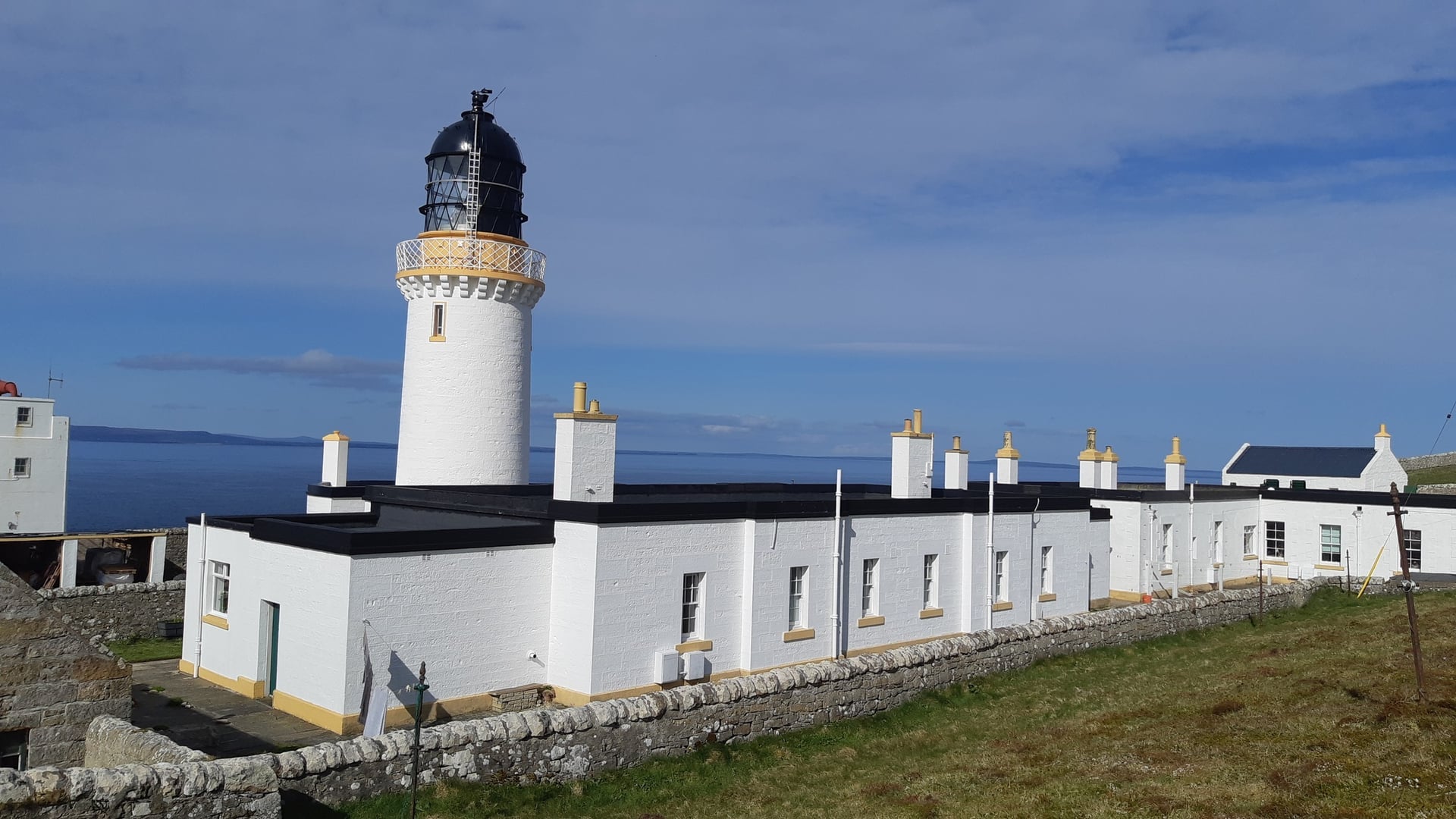
Between Bettyhill and Thurso the A836 keeps climbing in and out of river valleys, so the shortest stage is not the easiest. Thurso is the largest town on the north coast, with supermarkets and the first big shops since Ullapool.
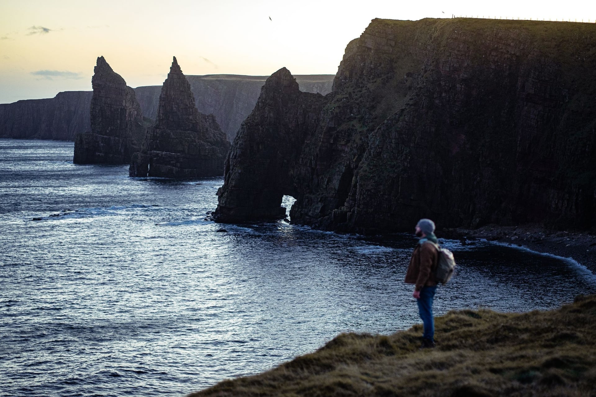
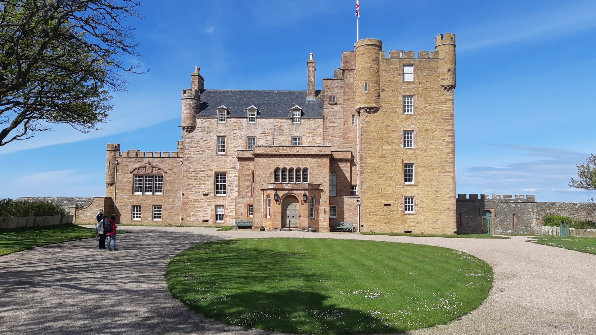
At Dunnet, the B855 runs 4.5 miles north to Dunnet Head, the most northerly point of mainland Britain. Its lighthouse, built by Robert Stevenson in 1831, stands on 300-foot cliffs with Orkney 6.75 miles away. Back on the A836, the road passes the Castle of Mey on the way to John o' Groats.
Stage 7: John o' Groats to Brora
Distance: 101 km (63 miles)
Elevation gain: about 1,080 m
Road: A99 to Latheron, then the A9, both two-lane main roads
Shops: Wick, Lybster, Helmsdale, Brora
Where to sleep: Wick, Lybster, Helmsdale, Brora
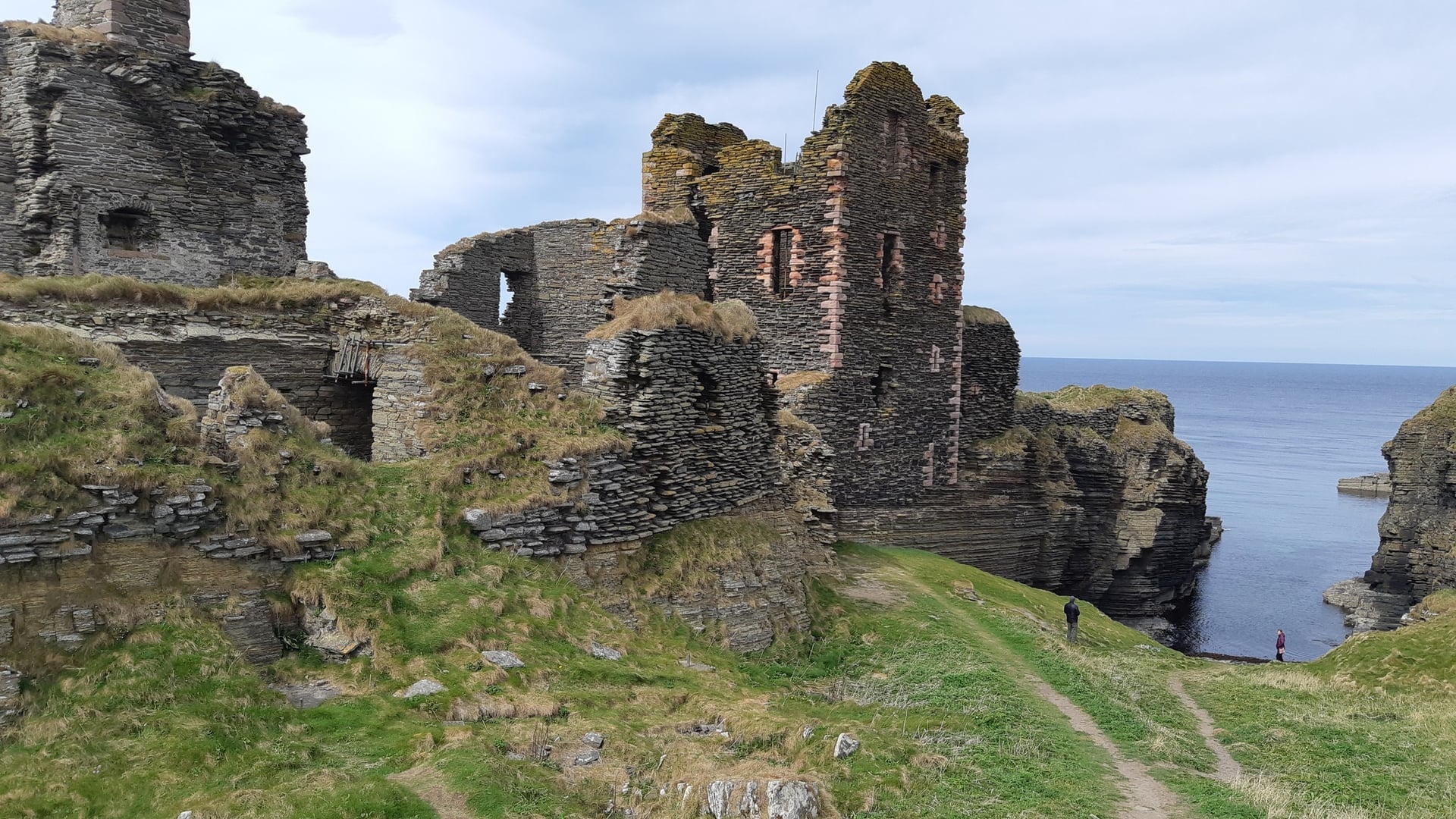
The east coast is faster, but the A99 and A9 are busy two-lane main roads with lorries. The A99 runs south to Wick, where Castle Sinclair Girnigoe stands on a cliff 3 miles north of the town, along the Noss Head road.
At Berriedale the A9 drops about 130 m into the valley and climbs straight back out; the hairpin at the bottom was removed in 2020. After the Ord of Caithness, the highest point of the stage at about 230 m, the road descends to Helmsdale and follows the coast to Brora.
Stage 8: Brora to Inverness
Distance: 108 km (67 miles)
Elevation gain: about 650 m
Road: A9 over the Dornoch Firth to the Cromarty Firth, then the A862 via Dingwall and Beauly
Shops: Golspie, Tain, Dingwall, Beauly
Where to sleep: Golspie, Dornoch, Tain, Inverness
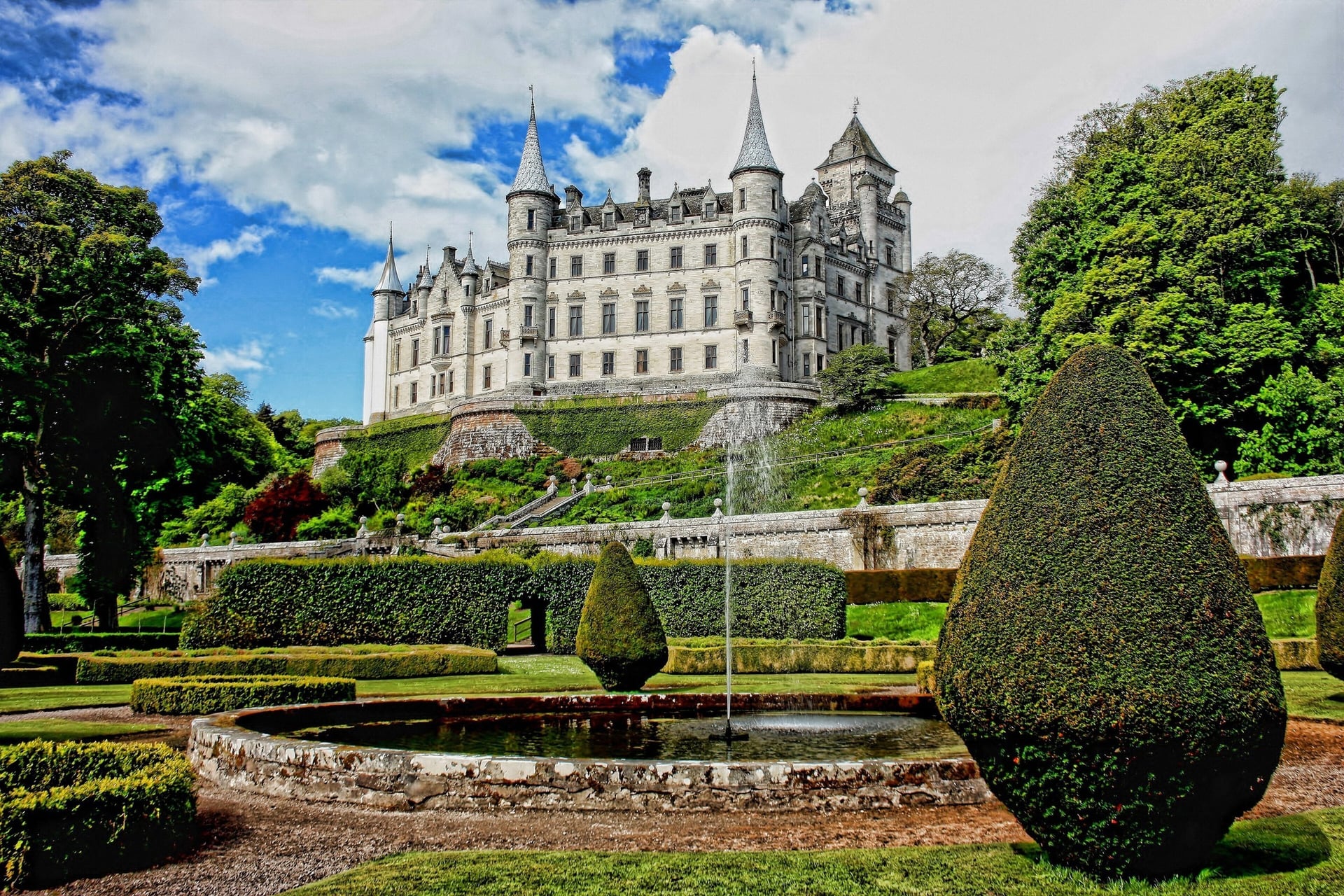
Brora to Inverness is the flattest stage. Half a mile north of Golspie, Dunrobin Castle stands right beside the A9; with 189 rooms, it is the largest house in the northern Highlands. South of Golspie the road crosses the head of Loch Fleet and the Dornoch Firth Bridge to Tain.
From the Cromarty Firth the route leaves the A9 and returns through Dingwall and Beauly on the A862, the road you set out on. Brora, Golspie and Tain are on the Far North Line, so a train can shorten the day.
How Many Days Do You Need?
The official NC500 cycling itinerary takes eight days at about 65 miles a day. These splits use villages with beds and leave out the Dunnet Head detour:
Riding days | Overnight stops | Daily distances (km) |
7 | Lochcarron, Gairloch, Lochinver, Durness, Thurso, Helmsdale | 104, 127, 145, 97, 115, 114, 125 |
8 | Lochcarron, Talladale, Ullapool, Scourie, Bettyhill, John o' Groats, Brora | 104, 110, 106, 110, 110, 80, 101, 108 |
10 | Lochcarron, Shieldaig, Gairloch, Ullapool, Scourie, Tongue, Thurso, Wick, Brora | 104, 69, 59, 89, 110, 89, 69, 57, 75, 108 |
Add a day at each end for the journey. Ten riding days leave time for Applecross, Smoo Cave and Dunnet Head, and a spare day if the weather closes in on the west coast.
How Hard Is the North Coast 500 Cycle Route?
The NC500 needs no technical skill, but it asks for 60 to 70 hilly miles a day, day after day. Most of the difficulty is the total amount of climbing: about 10,500 m, with stages 2 to 4 carrying more than half of it.
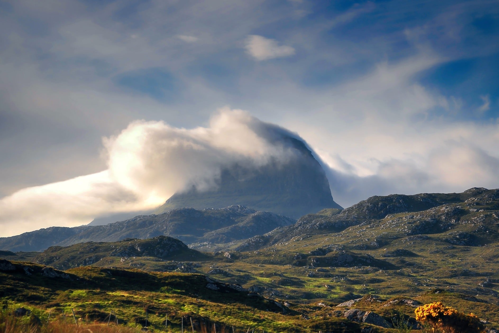
It suits riders who are used to long days in hills. An e-bike or e-road bike takes the edge off the west coast, and the riding gets easier after Thurso.
The Bealach na Bà and the West-Coast Climbs
Two stages climb more than 2,000 m each: Lochcarron to Talladale over the Bealach na Bà, and Ullapool to Scourie through Assynt. Apart from the Bealach, the climbing comes as short, steep hills between the bays.
The Bealach na Bà rises from near sea level at Tornapress to 626 m in 9.1 km. The sign at the bottom warns of gradients of 1 in 5 and hairpin bends, and no other road pass in the UK has as much ascent. Low gears matter more than strength here.
The coast road from Applecross to Shieldaig adds about six steep hills in 23 miles, and the B869 north of Lochinver has a short pitch signed at 25%. On the east coast, the A9 climbs about 130 m out of Berriedale before the Ord of Caithness.
Single-Track Roads and Passing Places
Much of the west and north coast is single-track road with passing places, shared with camper vans, delivery vans and farm traffic. These are the rules and the local conventions:
Pull in to let traffic pass: the Highway Code (rule 155) says to pull into a passing place on your left, or wait opposite one on your right.
First there waits: whoever reaches a passing place first gives way and waits on their own side of the road.
On the Bealach, you may use a passing place on the right to let cars by while you keep climbing slowly; signal clearly first.
For lorries and big camper vans, use the nearest passing place even if it is on the right, so the vehicle can keep a straight line.
Groups of three or four at most, so the whole group fits into one passing place.
Never stop in a passing place to rest or take photos; the Highway Code says not to park in them.
Camper vans are most numerous in July and August. Many drivers are new to single-track roads, so expect them to stop late on blind bends and steep hills.
Traffic on the A-Roads
The busiest roads are the two-lane A-roads: the A835 between Contin and Garve and into Ullapool, and the A99 and A9 down the east coast. Lorries and coaches use them at speed.
Ride these sections early in the day, wear something bright and use lights in poor visibility. On the east coast, the Far North Line stops at Helmsdale, Brora and Golspie, so you can take the train past a stretch of the A9; book the bike space in advance.
Signs, Navigation and Phone Signal
The NC500 has brown tourist signs at some junctions, but it is not signed as a cycle route. Carry the route as a GPX file on a bike computer or phone, with offline maps downloaded.
Phone signal is patchy on long stretches of the west and north coasts, including the Applecross coast road and the moor between Scourie and Durness. Tell someone your plan before a remote day.
Best Time to Cycle the NC500
The far north has long summer days but changeable weather, and the west coast gets about three times as much rain as the east. The table compares Kinlochewe in Torridon with Wick on the east coast, using Met Office long-term averages for 1991 to 2020, with mid-month daylight at Durness:
Month | Day high, west / east | Rain, west / east | Daylight |
April | 12 / 10 °C | 125 / 47 mm | 14 h 30 |
May | 15 / 12 °C | 118 / 50 mm | 16 h 55 |
June | 17 / 14 °C | 105 / 55 mm | 18 h 25 |
July | 19 / 16 °C | 105 / 62 mm | 17 h 45 |
August | 18 / 16 °C | 141 / 70 mm | 15 h 30 |
September | 16 / 15 °C | 177 / 66 mm | 12 h 55 |
October | 13 / 12 °C | 235 / 93 mm | 10 h 20 |
May and June are the best months for most riders: they are the driest months of the season, May is the sunniest, and the evenings stay light past 10pm. In spring the wind often comes from the north or east, and an easterly is a headwind along the north coast.
July and August are the warmest months and the busiest on the roads, and the small villages book out early. Midges appear in May and peak in June, but they cannot fly in wind over 7 mph, so they rarely bother a moving rider.
September is quieter, but the west coast gets wetter, with 177 mm of rain at Kinlochewe. By October daylight is down to about ten hours and many guesthouses close for the winter. In winter the Bealach na Bà can close for snow and ice; in January 2026 it was shut for two weeks.
Know Before You Arrive
The loop starts and ends in Inverness, so you only need one journey there and back, but the far north needs more planning for beds and food than most UK routes.
Getting to Inverness With a Bike
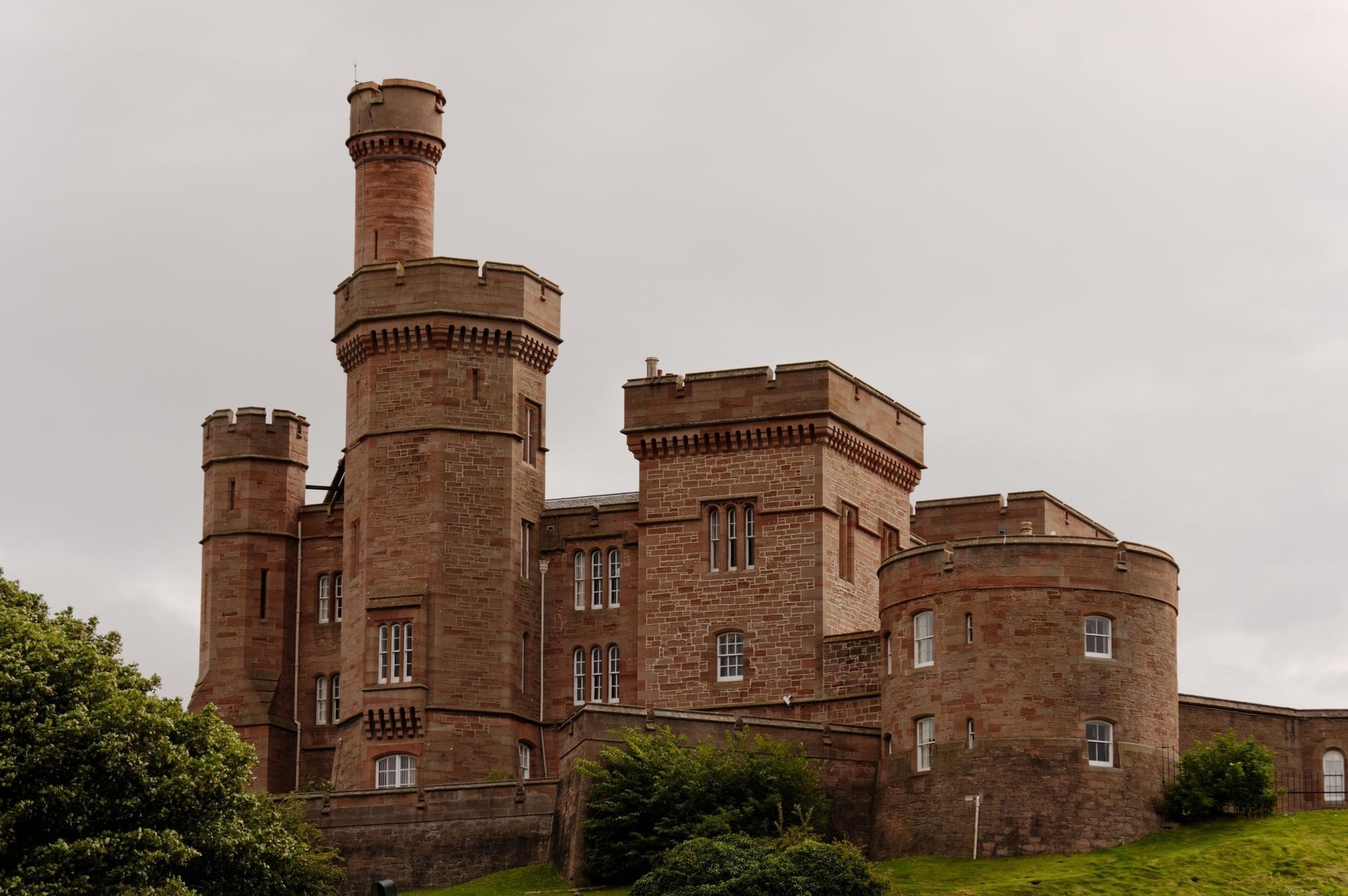
Inverness is on the railway from Glasgow, Edinburgh and London, and most riders arrive by train. On ScotRail's lines to Inverness a bike reservation is compulsory, and spaces are few, so book the bike space when you buy the ticket.
From Glasgow or Edinburgh: about 3 h 20 to 3 h 30 by ScotRail; up to 6 bikes in coach C of Inter7City trains, reservation required.
From London: one direct LNER train a day, leaving King's Cross at 12:03 and arriving at 20:08, or the Caledonian Sleeper from Euston, which carries bikes free with a reservation.
By air: Inverness Airport is about 9 miles from the city; airlines carry bikes boxed or bagged for a fee.
By car: leave it in the Rose Street multi-storey in Inverness, which has no maximum stay.
Where to Stay
Beds are easy to find in Inverness, Ullapool, Thurso and Wick. The west and north coast villages have a few hotels, B&Bs and hostels each, and summer rooms go months ahead, so book the whole loop before you set off.
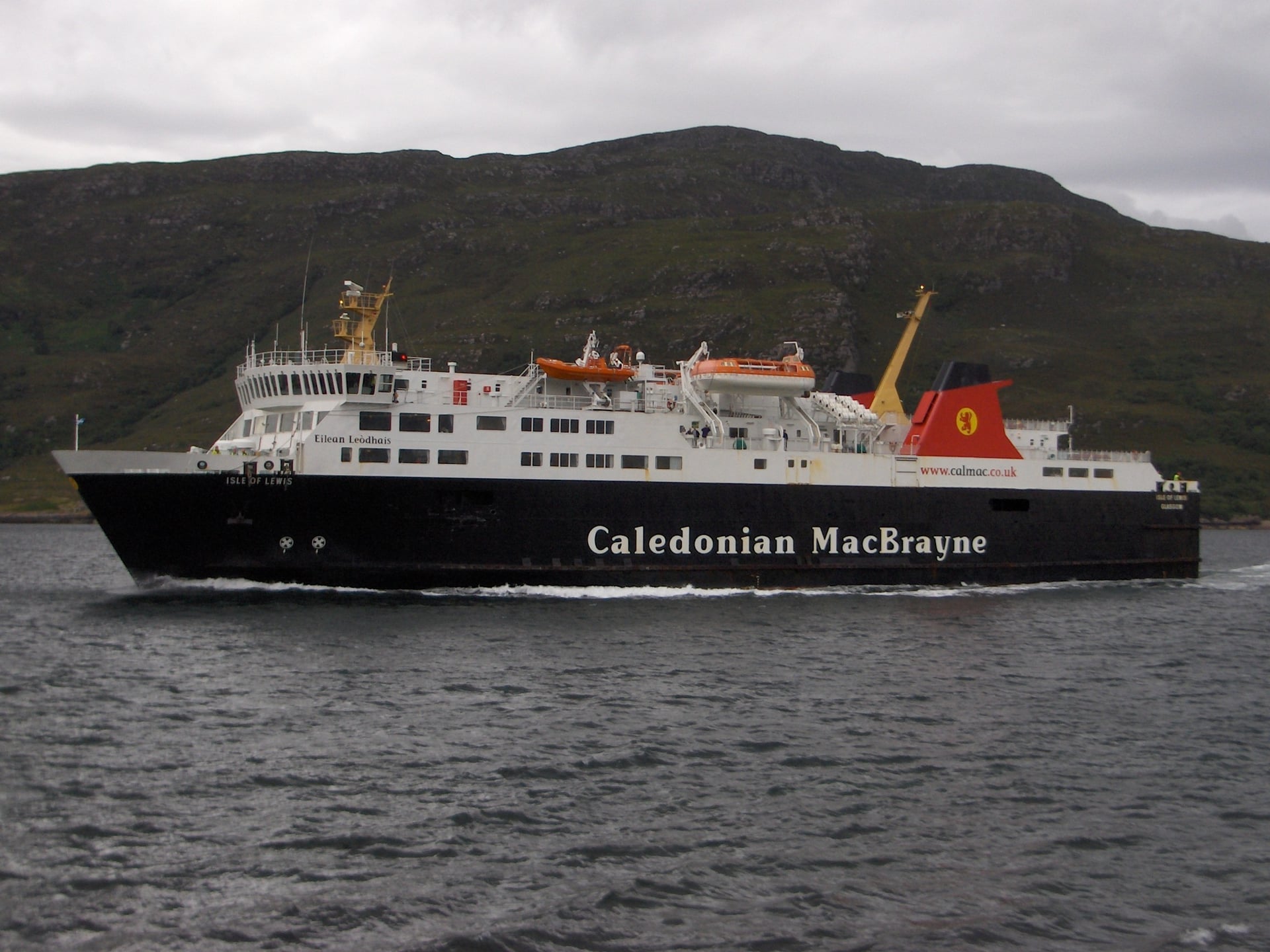
Hostelling Scotland runs five hostels on or near the route, with shared dorms, private rooms and self-catering kitchens:
Torridon: 51 beds, March to October, at the foot of Liathach on Stage 2
Gairloch Sands: 31 beds, April to September, near Gairloch on Stage 3
Ullapool: 44 beds, April to October, on the seafront, with cycle storage for 15 bikes
Achmelvich Beach: 20 beds, April to September, on a side road off the B869 on Stage 4
Durness Smoo: 31 beds, April to September, beside Smoo Cave on Stage 5
Campsites include Applecross and Sango Sands at Durness. Wild camping is legal in Scotland under the Scottish Outdoor Access Code, if you camp lightly, away from roads and houses, for two or three nights at most.
Food, Water and Bike Shops
Shops on the west and north coasts are small village stores, so plan each day's food around the next village. The longest gaps between shops are about 36 miles from Ullapool to Lochinver and 29 miles from Durness to Tongue.
Big supermarkets: Inverness, Ullapool, Thurso and Wick; Co-op stores in Golspie, Brora and Dornoch
Village stores: Lochcarron, Gairloch, Lochinver, Scourie, Durness, Tongue and Bettyhill
Water: refill bottles in cafés, hotels and public toilets; treat water from burns (streams), which drain peat bog and sheep grazing
Bike shops: none on the west coast since Ullapool's hire and repair shop closed in 2025; small shops in Thurso, Wick and Golspie, so phone ahead
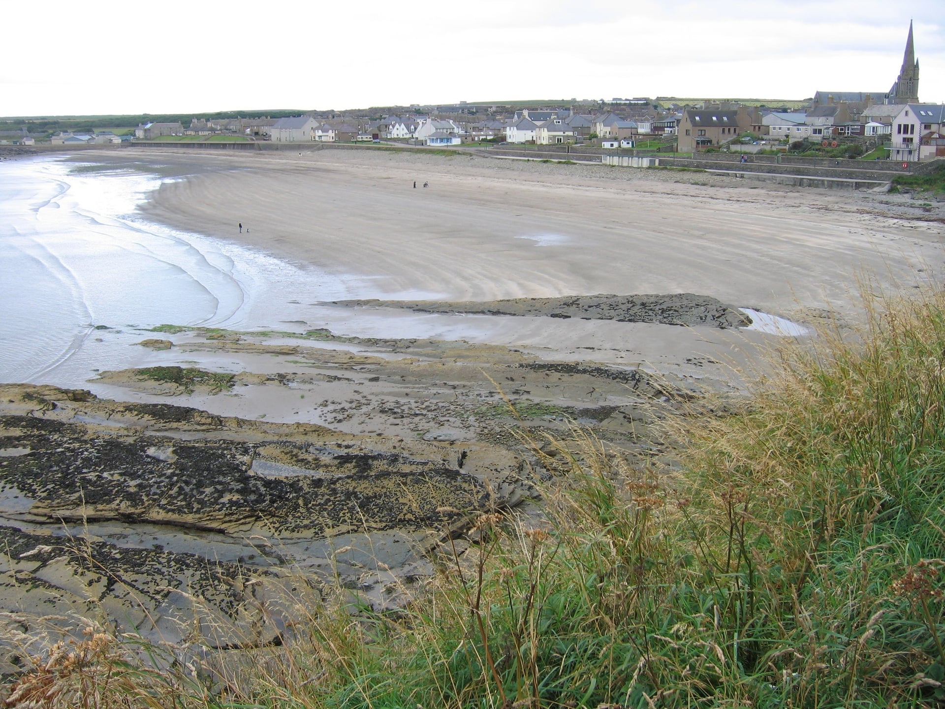
Carry a full repair kit and a spare tyre, because the nearest bike shop can be a day's ride away.
How Much Does It Cost?
The NC500 itself is free: there are no tolls, permits or park fees, and the Bealach na Bà costs nothing to ride. The money goes on beds and food, and the far north is not cheap.
Hotel or inn: a double room at the Applecross Inn costs £220 for one night in 2026
Hostel: £24 to £28 for a bed in a Hostelling Scotland dorm
Campsite: £12 to £15 per adult at Applecross, £13.50 at Sango Sands, Durness
Dinner: pub main courses at the Applecross Inn cost £16 to £38
Sights: Dunrobin Castle £16 for an adult; the walkway into Smoo Cave is free
Parking in Inverness: £12 for the first 24 hours at Rose Street, then £10 a day
The Highland Council plans a visitor levy of £5 per room per night, but it will not apply before 2028. Bikes travel free on ScotRail and the Caledonian Sleeper once a space is reserved.
What to Pack
You ride the NC500 in Atlantic weather, so pack for rain and wind first, even in July. The west coast averages more than 100 mm of rain in every summer month.
For any multi-day ride:
Waterproof jacket and overshoes, a warm layer and full-finger gloves
Front and rear lights and a red rear reflector, which the Highway Code requires after dark
Spare tubes, pump, tyre levers and a multi-tool
Phone with the GPX file, offline maps and a power bank
For the NC500:
Low gears, for the 20% ramps on the Bealach na Bà and the 25% pitch on the B869
Two bottles and a day's food, for gaps of up to 36 miles between shops
Spare brake pads, a chain link and a spare tyre, because there is no bike shop on the west coast
Midge repellent and a head net for still evenings from May to September
Bright clothing and daytime lights, for murk and spray on the A9
Booking Beds and Moving Bags on the NC500
The hardest part of planning the NC500 is the beds: villages such as Applecross, Scourie and Bettyhill have only a few places to stay, and summer rooms go months ahead. The second problem is carrying a week of luggage over 10,500 m of climbing.
A self-guided tour solves both: the beds are booked before you arrive, and your bags move between hotels each day. Our self-guided North Coast 500 Road Cycling tour follows the eight stages above:
Duration: 10 days / 9 nights, May to September
Route: Inverness and back via Lochcarron, Talladale, Ullapool, Scourie, Bettyhill, John o' Groats and Brora, 58 to 78 miles a day
Included: 9 nights in 3-star hotels with breakfast, luggage transfers, a GPS navigation app, a digital guidebook and support during the tour
Bikes: bring your own, or rent a road bike or e-road bike
If you want a gentler Highland ride, the Caledonia Way runs from Campbeltown to Inverness. The Great Glen Way also finishes there, from Fort William.
For the NC500, ask us about dates for next season.
The loop ends where it starts, in Inverness, after 516 miles of single-track roads, sea lochs and the beaches of the north coast between Durness and Bettyhill.
Frequently Asked Questions

Plan with a cycling expert
Free advice from a team that knows these routes inside out - real people, not a bot

Hassle-Free
We take care of route planning, accommodations, luggage transfers, and all logistics, so you can focus purely on enjoying your ride.

Tried & Tested Adventures
Our cycling routes are hand-picked & tested, to ensure breathtaking landscapes, smooth roads, and maximum safety - giving you the perfect ride every day.

Unbeatable Support
Our 24/7 customer support is where we show our passion, ensuring your cycling holiday runs smoothly and your well-being is always our top priority.

Book with Confidence
We are a financially protected company, fully bonded and insured, keeping your money safe and allowing you to travel with confidence.